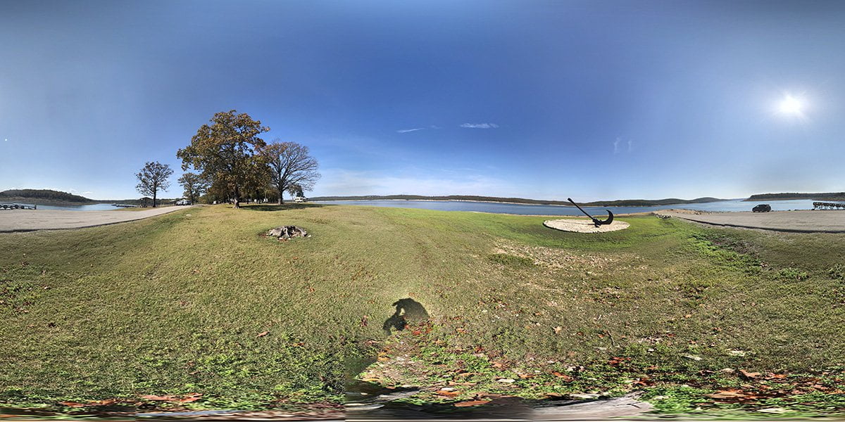
Highway 125 Recreation Area
Highway 125 recreation area has camping hookups with water and electricity. There are showers located in […]
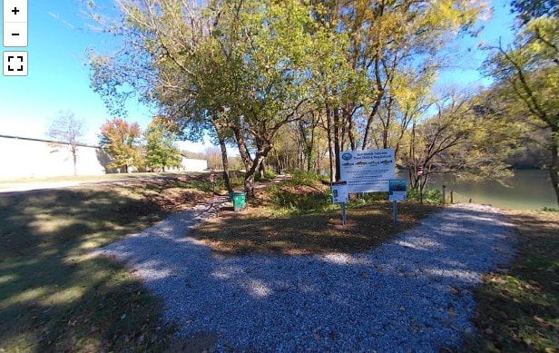
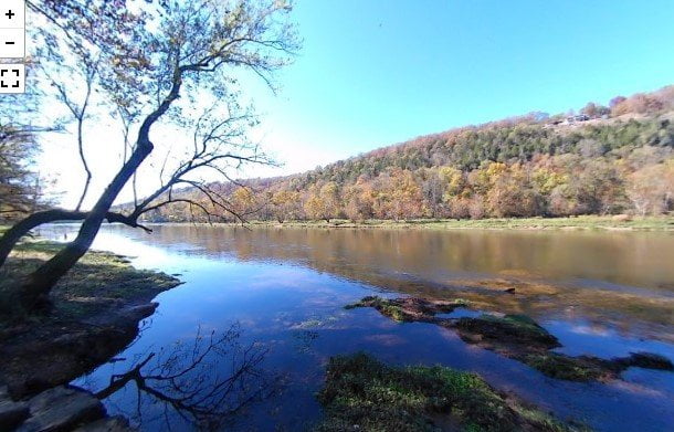
Fred Berry Conservation Center
The Fred Berry Conservation Education Center sits on a bend in Crooked Creek. The area includes […]
Roundhouse Shoals
The roadside access to Roundhouse Shoals is on Highway 345 about a mile past the turnoff […]
Bronie Yurkonis Access
The Bronie Yurkonis Access is about 3 miles further down the highway from the Wildcat Shoals […]
Rim Shoals Access
The Rim Shoals Access is on Rim Shoals Road near Mountain Home, AR. The area has […]
Buffalo Shoals Access
The Buffalo Shoals Access is located in Buffalo City, Arkansas. There is a boat ramp, large […]
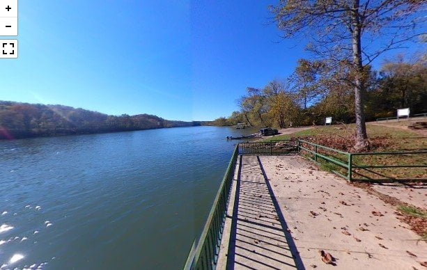
Dewey Short Visitor Center
The Dewey Short Visitor Center is located within Table Rock State Park in Branson, MO. It […]
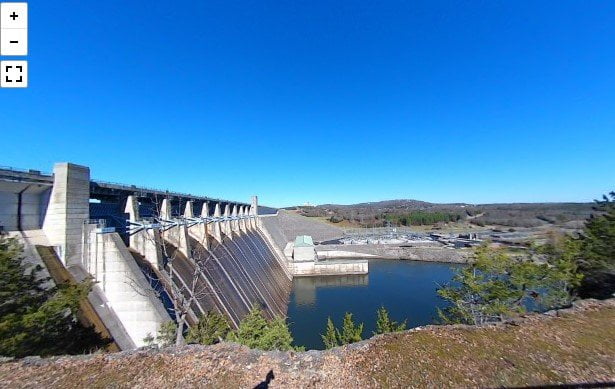
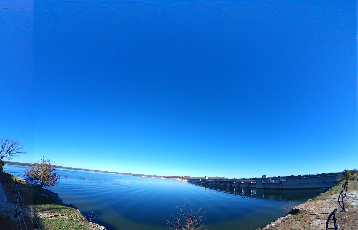
Table Rock Dam
Table Rock Dam was completed by the US Army Corps of Engineers in August 1958. Hydroelectric […]
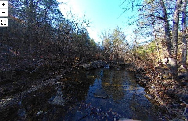
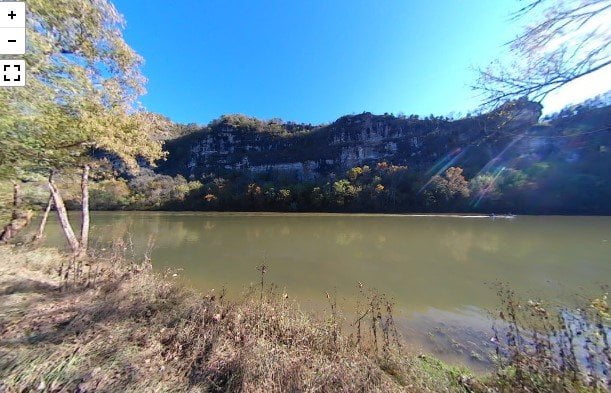
Waterfall Hiking Trail
The Waterfall Hiking Trail in Branson, MO is a short trail to a low waterfall. The […]
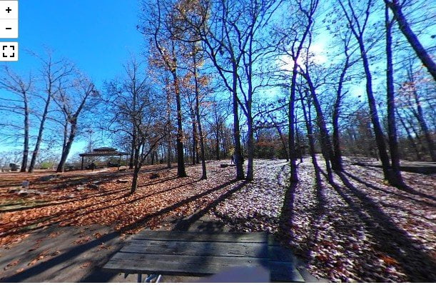
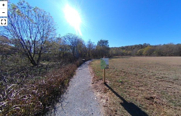
Lakeside Forest Nature Preserve
The Lakeside Forest Nature Preserve is just off the main strip in Branson, MO. The park […]