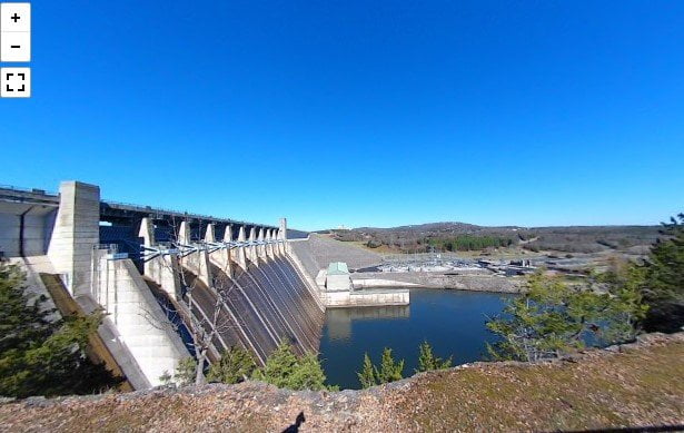
Table Rock Dam was completed by the US Army Corps of Engineers in August 1958. Hydroelectric generation was online completely the next year, in 1959. The dam created Table Rock Lake. This is one of 5 lakes in the upper White River system used for flood control. The lakes are used to hold water to protect from massive flooding downstream all the way to the Mississippi River. Table Rock Lake is known for its excellent fishing. The lake is also widely used for water sports and other recreational activities.
Below the dam is Lake Taneycomo, which is renowned for its excellent fishing for rainbow and brown trout. You can also visit the Shepherd of the Hills fish hatchery below the dam while you are there.
You can read more about the dam from the US Army Corps of Engineers.
The camera we use for 360° photos. Click the photo to get yours today!
360 Photo of Table Rock Dam.
Use Your Mouse or Move Your Phone To Look Around.
On the map above click on “View Larger Map” to go to Google Maps. Then copy & paste the code below into Google Maps to view the location. Use the satellite view for the best overview.
Code
HMWQ+8P Branson, Missouri

