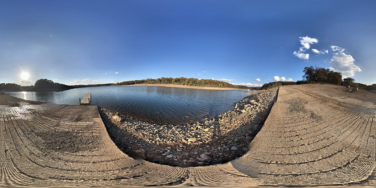
Jimmy Creek Access is at the end of Jimmy Creek Road off Highway 178 between Flippin and Bull Shoals, AR. It has a concrete boat launch and ample parking. The ramp has a pier next to the ramp to help with loading and unloading your boat.
Be sure and check current water levels before you plan your trip. High water can flood some ramps, and make others inaccessible. Here is a map of the lake from the US Army Corps of Engineers.
Be sure and purchase your Arkansas fishing license online before your trip.
Other parks and marinas in the area include Lead Hill Campground in Diamond City, Highway 125 Recreation Area in Peel, and Buck Creek Park on the Missouri side of the lake on Highway 125.
Check out our virtual visits to other areas on Bull Shoals Lake for a family-friendly getaway.
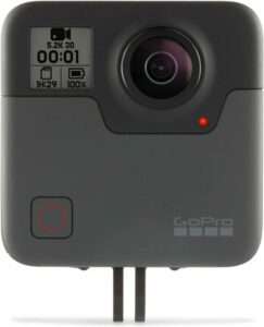
The camera we use for 360° photos. Click the photo to get yours today!
360 Photo of Jimmy Creek Access.
Use Your Mouse or Move Your Phone to Look Around.
On the map above click on “View Larger Map” to go to Google Maps. Then copy & paste the code below into Google Maps to view the location. Use the satellite view for the best overview.
Code
89VG+R9 Bull Shoals, Arkansas