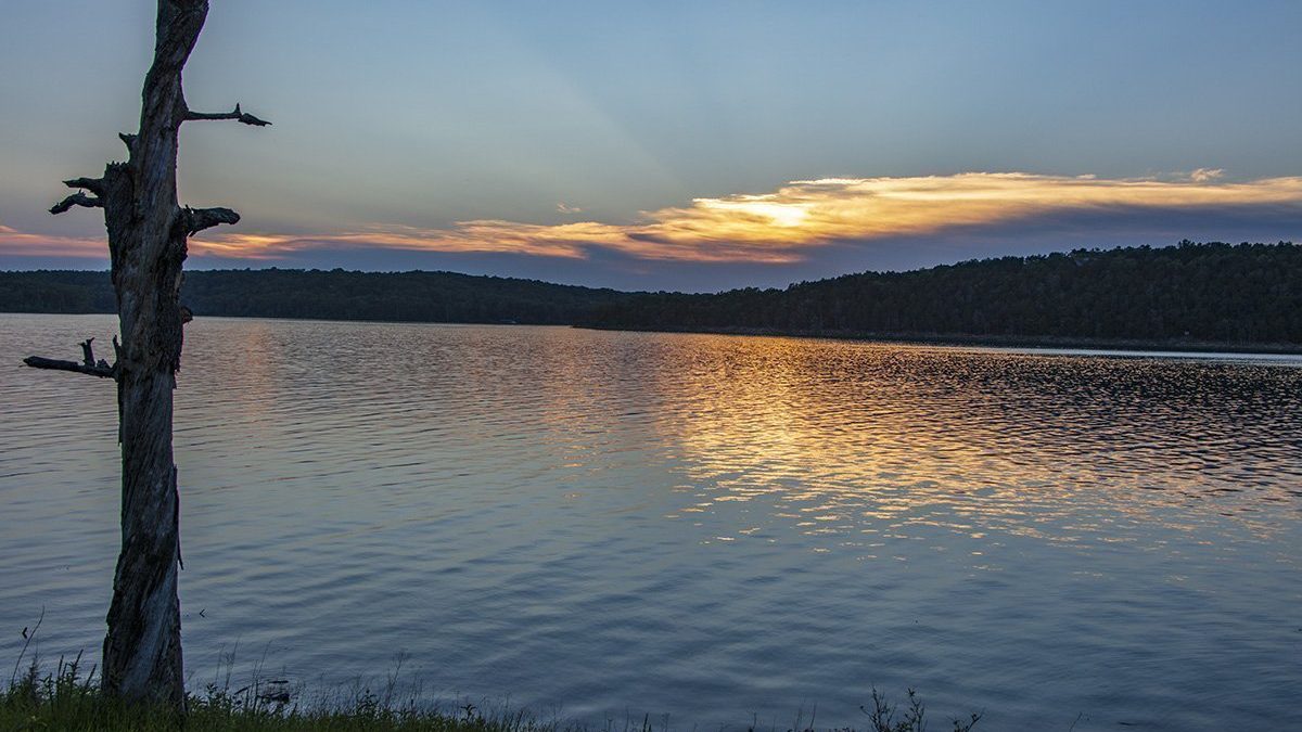
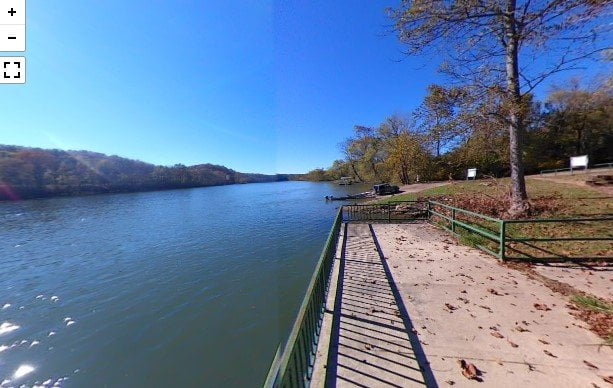
Bull Shoals Lake
Current Bull Shoals Lake Level – US Army Corps of Engineers Click the thumbnail to view […]
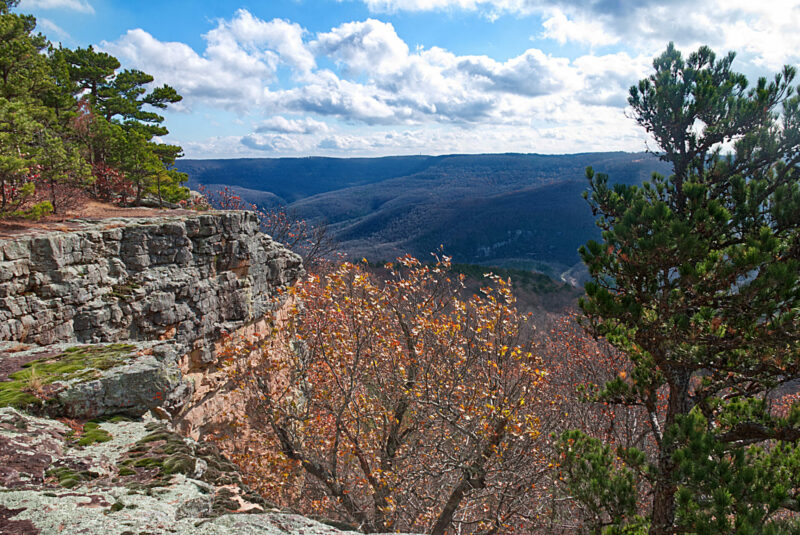
Best Outdoor Activities in the Ozarks
Keep reading to find out about some of the best outdoor activities in the Ozarks. The […]
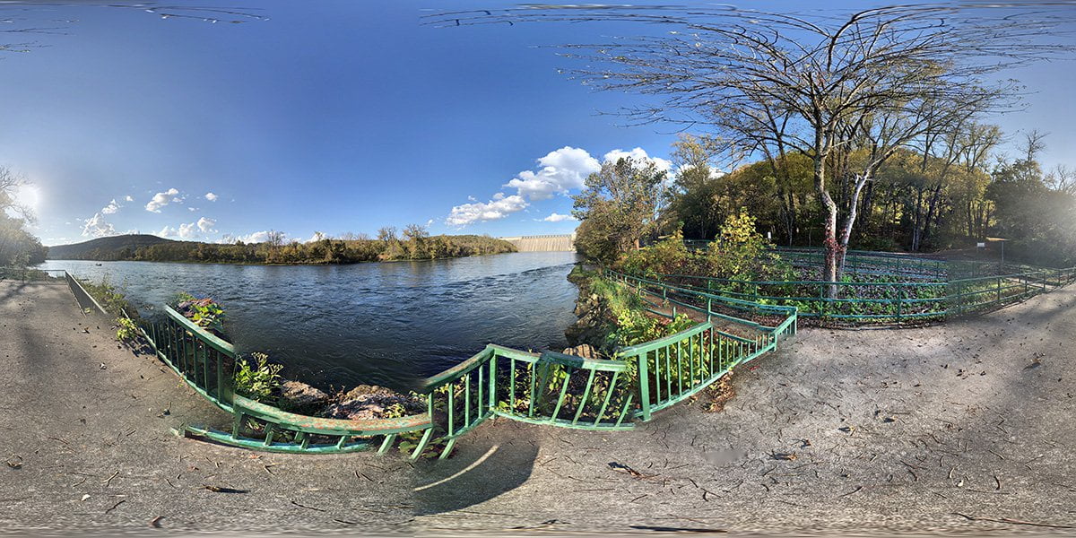
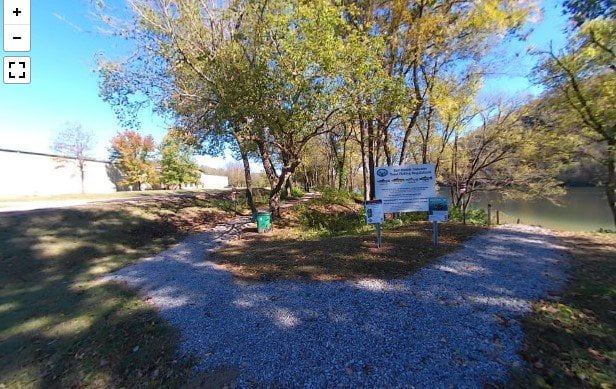
Jim Griffin Access
The Jim Griffin access has a concrete boat ramp and also has a walkway down to […]
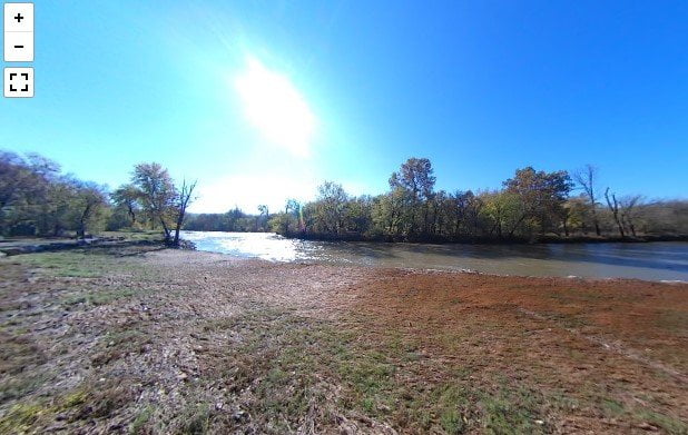
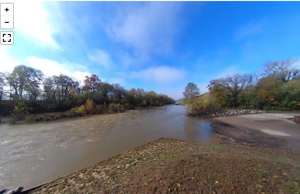
Snow Access To Crooked Creek
The Snow Access to Crooked Creek is a public access area with a canoe launching ramp […]
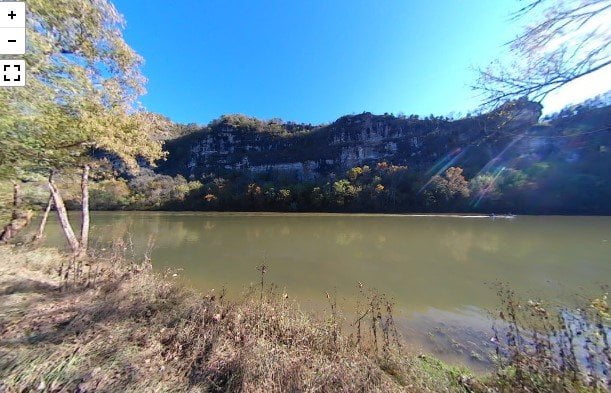
Mark Oliver Access
The Mark Oliver access to Crooked Creek is located in Marion County near the city of […]
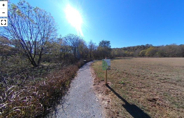
Fred Berry Conservation Center
The Fred Berry Conservation Education Center sits on a bend in Crooked Creek. The area includes […]
Roundhouse Shoals
The roadside access to Roundhouse Shoals is on Highway 345 about a mile past the turnoff […]
Rim Shoals Access
The Rim Shoals Access is on Rim Shoals Road near Mountain Home, AR. The area has […]
Buffalo Shoals Access
The Buffalo Shoals Access is located in Buffalo City, Arkansas. There is a boat ramp, large […]
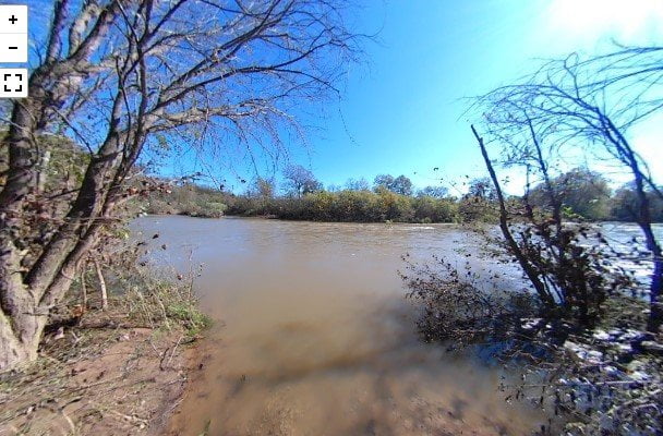
Flippin Walk-In Access Crooked Creek
The Flippin Walk-In Access to Crooked Creek is located on Marion County Road just off US […]