Bull Shoals Lake
Current Bull Shoals Lake Level – US Army Corps of Engineers Click the thumbnail to view […]
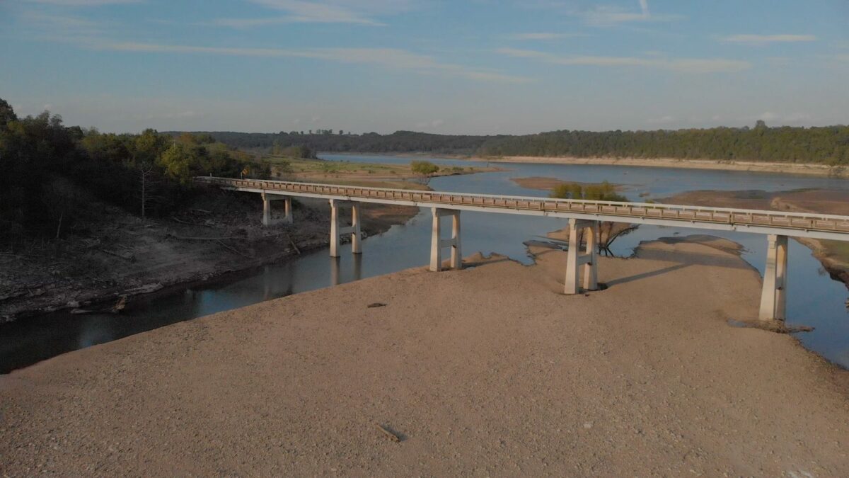
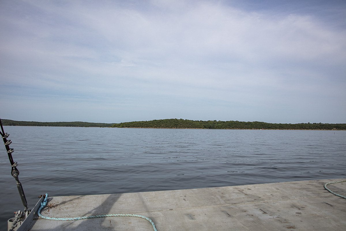
West Sugarloaf Creek
West Sugarloaf Creek empties into Bull Shoals Lake just to the Northwest of Lead Hill, Arkansas. […]
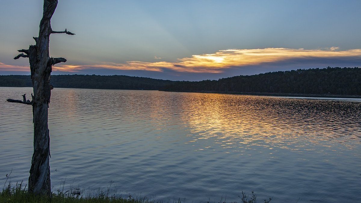
Persimmon Point On Bull Shoals Lake
Friday, May 24th of the 2019 Memorial Day weekend Gary and I are meeting some friends […]
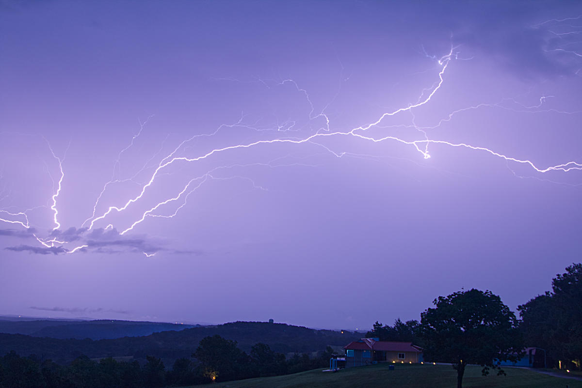
Lightning Photos Gallery
As many of our readers know, I am a big fan of shooting lightning photos. Anytime […]
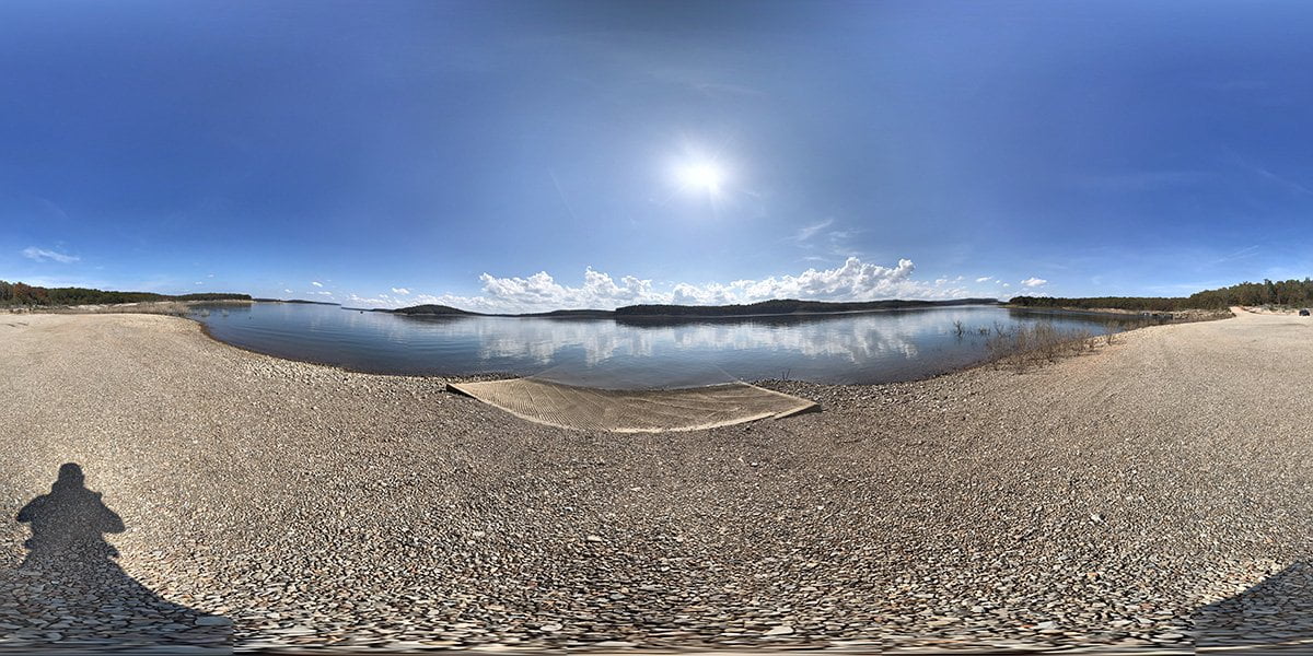
Frost Point Access
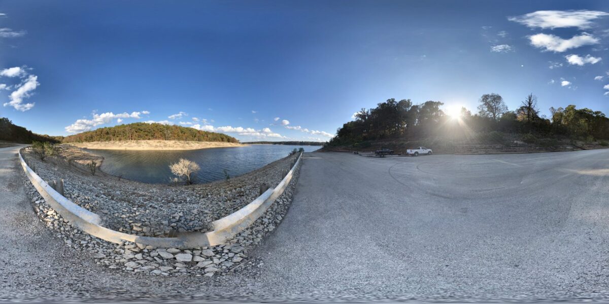
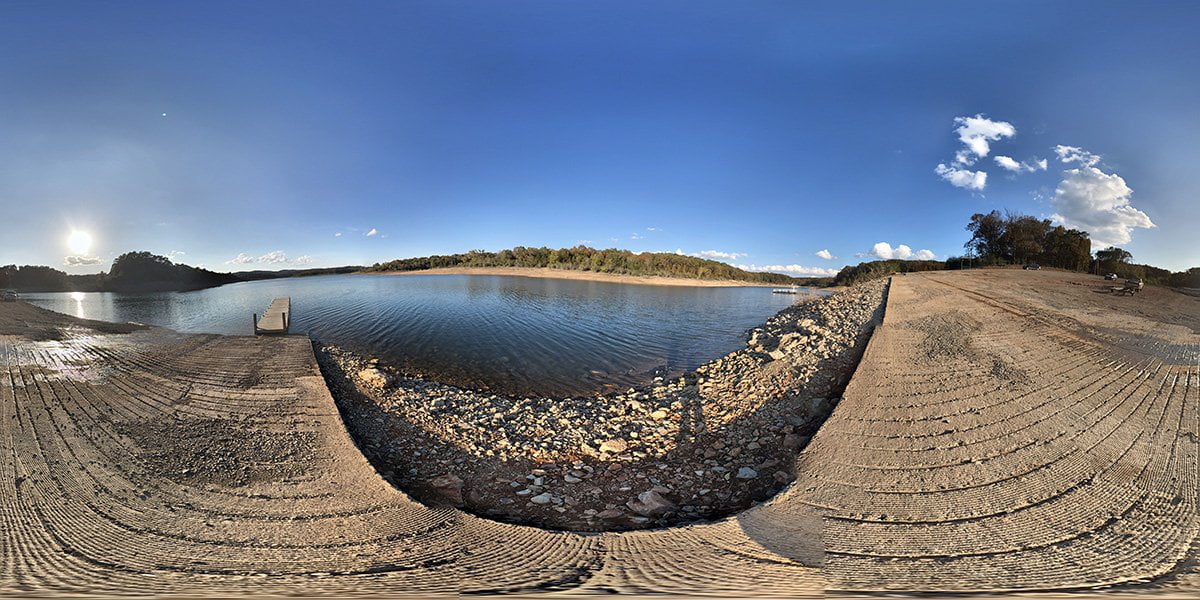
The Frost Point Access is a concrete boat launch area with ample parking at normal water […]
Buck Creek Park
Buck Creek Park is on the north side of Bull Shoals Lake along the Missouri border. […]
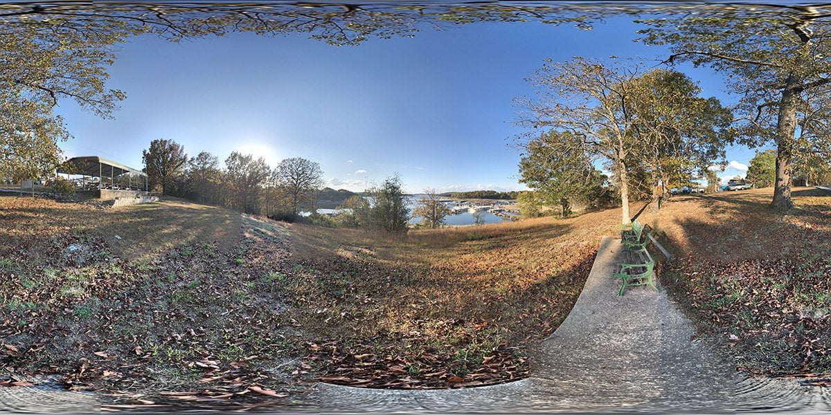
Bull Shoals Marina Overlook
Bull Shoals Marina Overlook is a small roadside park within the city of Bull Shoals. You […]
The Peel Ferry
The Peel Ferry is the last publicly-operated ferry boat in the state of Arkansas. It crosses […]
Dam Site Park
Dam Site Park is located near Bull Shoals Dam in the city of Bull Shoals, Arkansas. […]
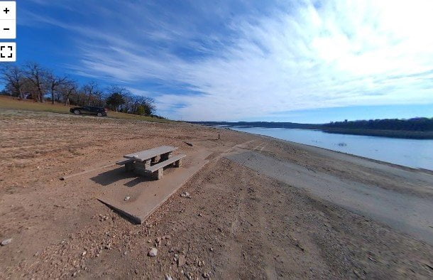
Jimmy Creek Access
Jimmy Creek Access is at the end of Jimmy Creek Road off Highway 178 between Flippin […]