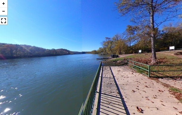
Rim Shoals Access
The Rim Shoals Access is on Rim Shoals Road near Mountain Home, AR. The area has […]
Buffalo Shoals Access
The Buffalo Shoals Access is located in Buffalo City, Arkansas. There is a boat ramp, large […]
Dewey Short Visitor Center
The Dewey Short Visitor Center is located within Table Rock State Park in Branson, MO. It […]
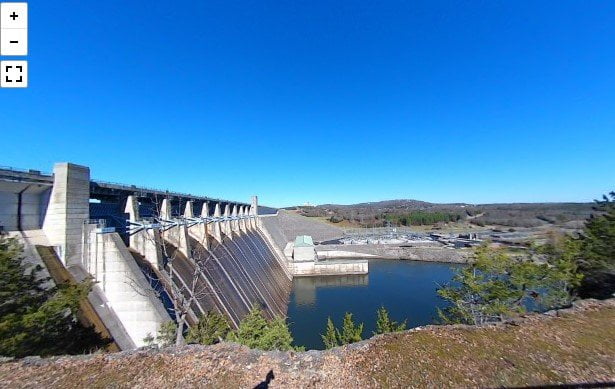
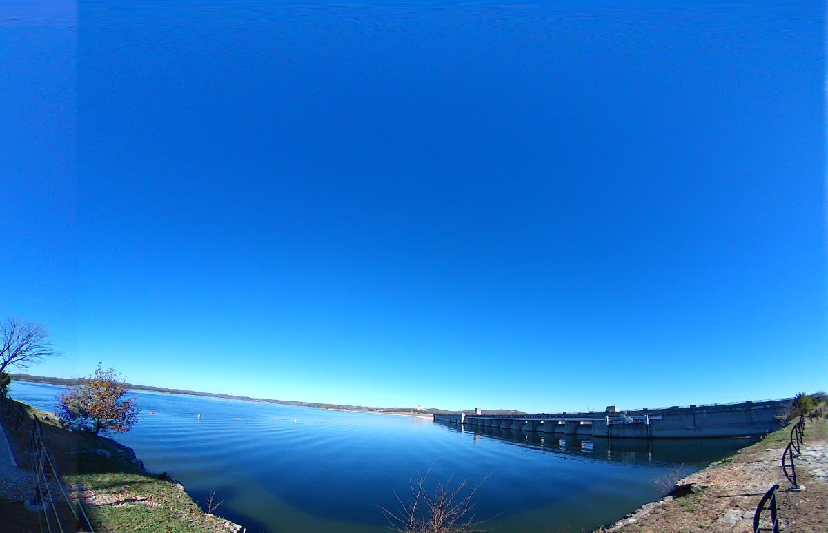
Table Rock Dam
Table Rock Dam was completed by the US Army Corps of Engineers in August 1958. Hydroelectric […]
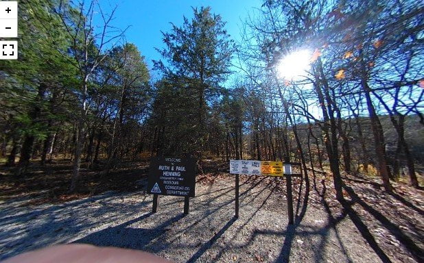
Ruth And Paul Henning Conservation Area-North
The Ruth and Paul Henning Conservation Area is a 1534 acre conservation park on the west […]
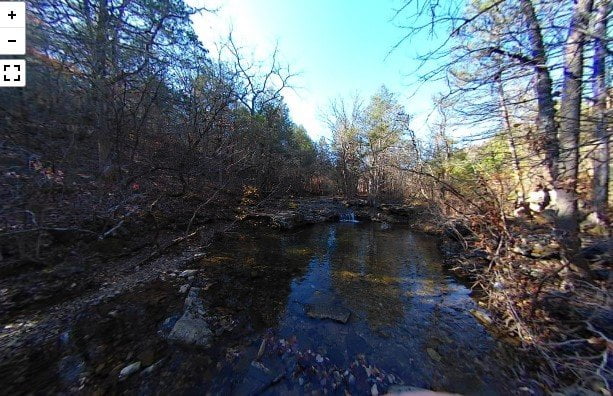
Waterfall Hiking Trail
The Waterfall Hiking Trail in Branson, MO is a short trail to a low waterfall. The […]
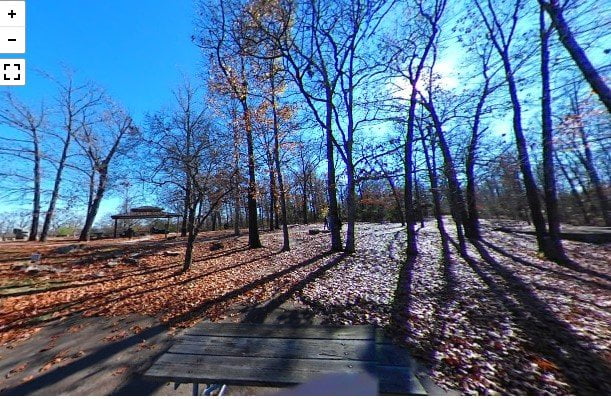
Lakeside Forest Nature Preserve
The Lakeside Forest Nature Preserve is just off the main strip in Branson, MO. The park […]
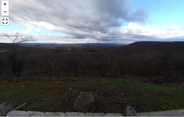
Bear Creek Overlook
Bear Creek Overlook is located on Dubuque Road in Boone County, Arkansas. It is not marked […]
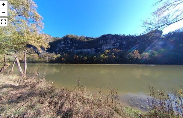
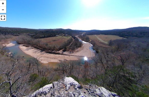
Arkansas Grand Canyon
Arkansas’ Grand Canyon may not be as deep as the one in the western US, but […]
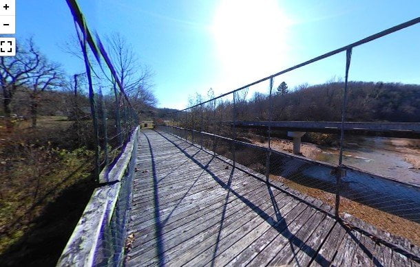
Haggard Swinging Bridge
The Haggard Swinging Bridge is a historic suspension bridge over Bear Creek just north of Harrison, […]