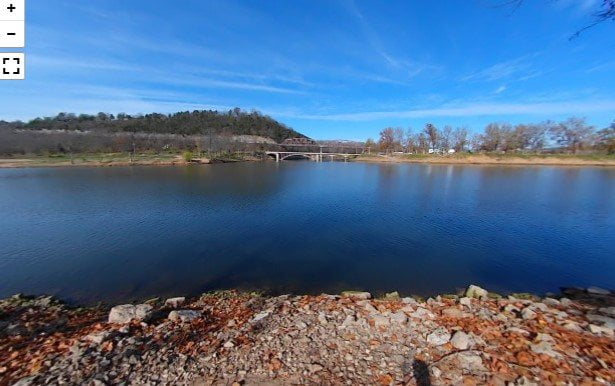
River Run Park
River Run Park on Bull Shoals Lake has 32 camping spots with water and electrical hookups. […]
Shadow Rock Park
Nestled in the scenic landscape of Forsyth, Missouri, Shadow Rock Park stands as a testament to […]
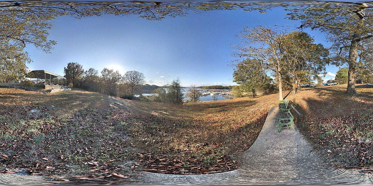
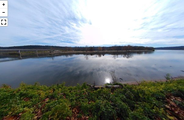
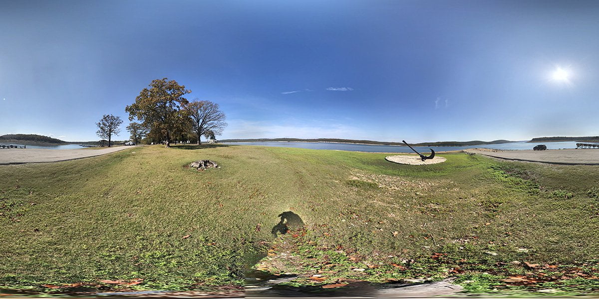
Bull Shoals Marina Overlook
Bull Shoals Marina Overlook is a small roadside park within the city of Bull Shoals. You […]
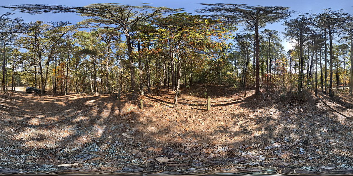
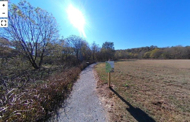
Slippery Hollow Natural Area
Slippery Hollow is a 1450-acre natural area located approximately 1.4 miles north of Lakeway on Highway […]
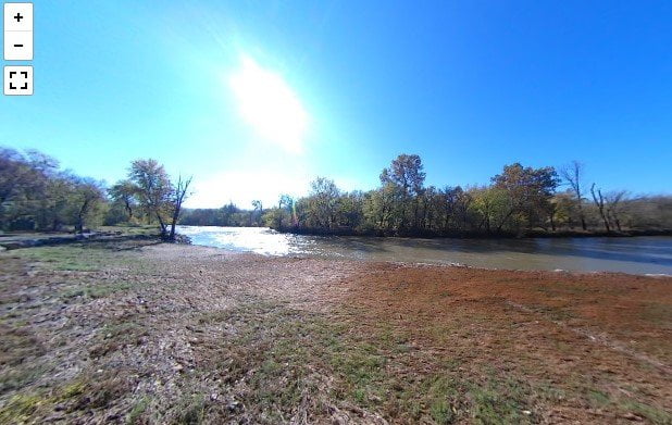
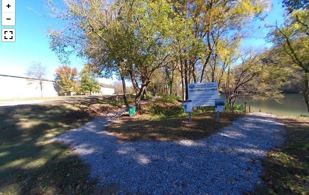
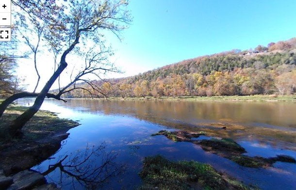
Snow Access To Crooked Creek
The Snow Access to Crooked Creek is a public access area with a canoe launching ramp […]
Mark Oliver Access
The Mark Oliver access to Crooked Creek is located in Marion County near the city of […]
Highway 125 Recreation Area
Highway 125 recreation area has camping hookups with water and electricity. There are showers located in […]
Fred Berry Conservation Center
The Fred Berry Conservation Education Center sits on a bend in Crooked Creek. The area includes […]
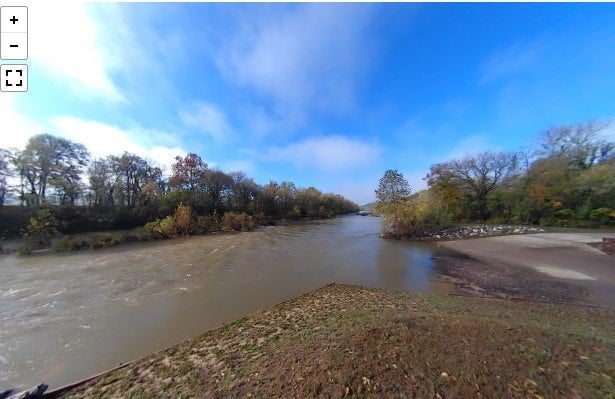
Roundhouse Shoals
The roadside access to Roundhouse Shoals is on Highway 345 about a mile past the turnoff […]
Bronie Yurkonis Access
The Bronie Yurkonis Access is about 3 miles further down the highway from the Wildcat Shoals […]