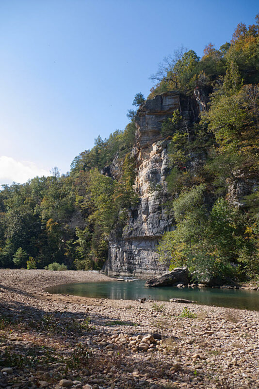
See the highlights of our hike from Ponca to Steel Creek campground below. Use the arrows at the top right of the screen below to cycle through the virtual hike. Use your mouse to scroll and look around. Your scroll wheel can be used to zoom in or out. You can use the controls on…Read more
Tag: arkansas
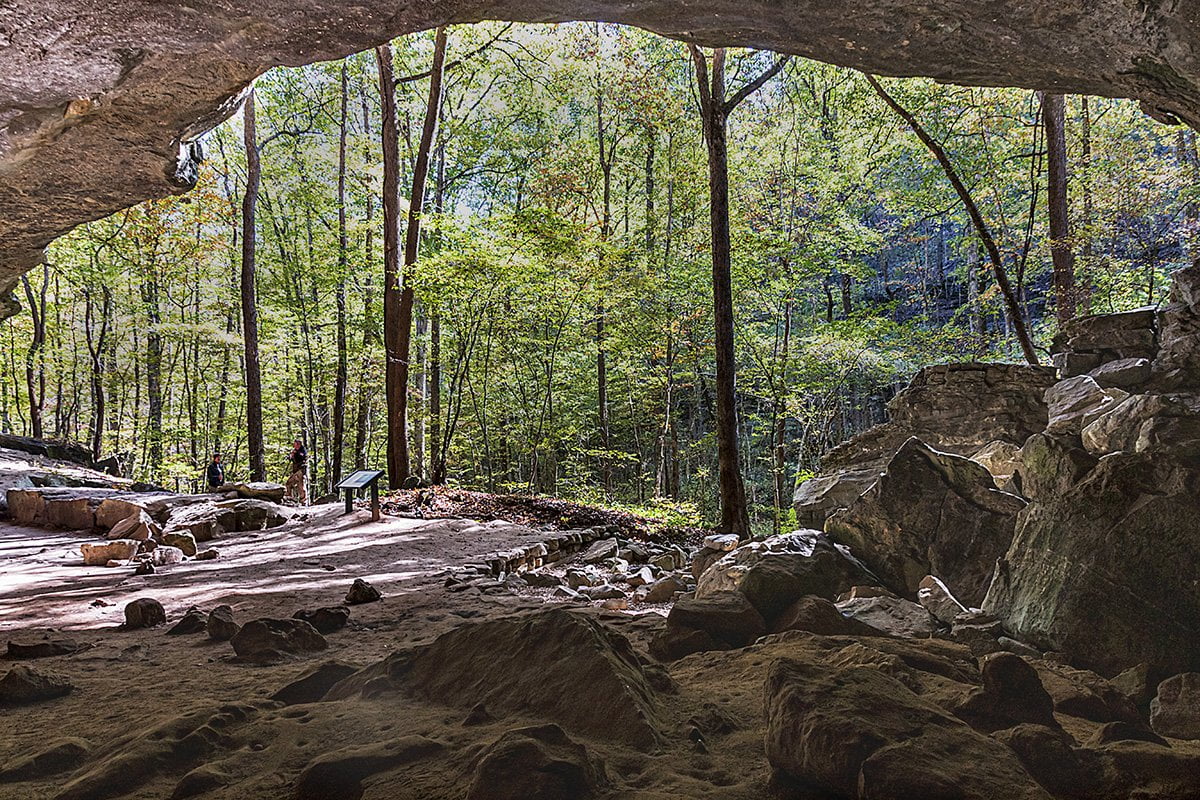
The Indian Rockhouse Trail
360 Photo of the Indian Rockhouse Trail Use Your Mouse or Move Your Phone To Look Around You couldn’t ask for a better day to go hiking. The weather was clear and the humidity was low as the day started. A couple of friends and I had planned this trip earlier in the week. They…Read more
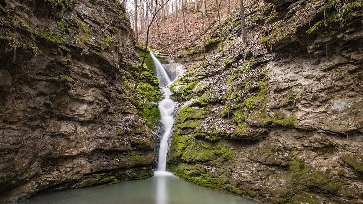
Elise Falls-Smith Creek Nature Preserve
Elise Falls is one of the amazing sights you can see if you visit the Smith Creek Nature Preserve. The Smith Creek Nature Preserve is over 1300 acres of Ozark forest land preserved to protect the land and wildlife. The preserve is located on State Highway 21 just a few miles south of Ponca, Arkansas….Read more
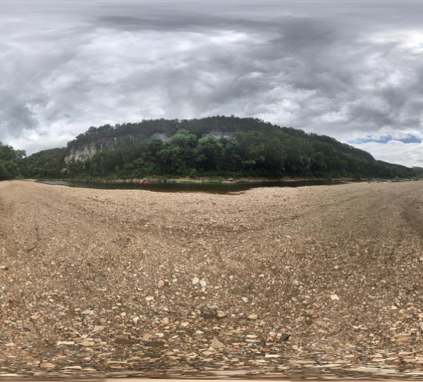
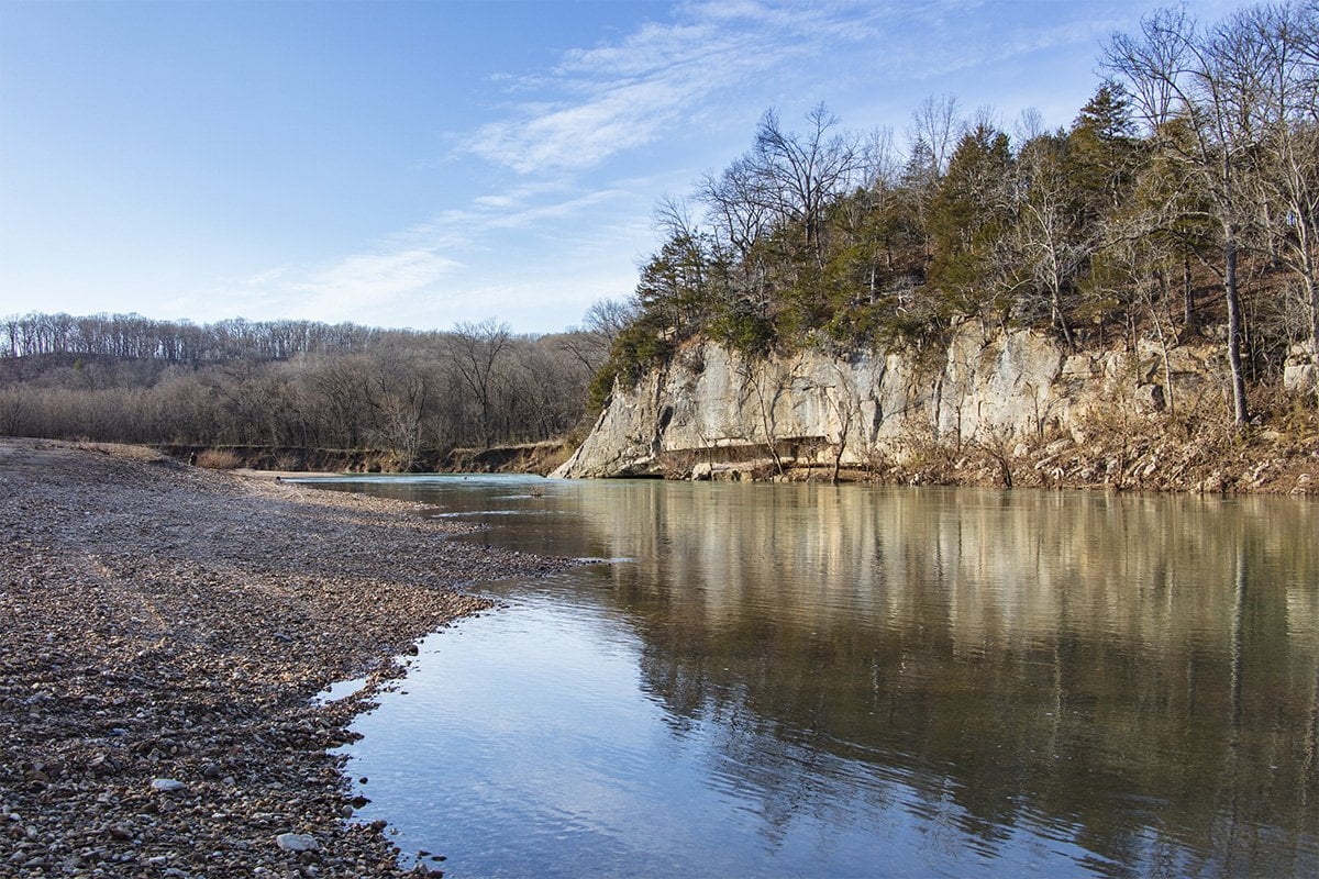
Tyler Bend- Buffalo National River
Tyler Bend is a popular swimming hole and canoe launching site on the Buffalo River. Tyler Bend is located between Marshall and St. Joe, Arkansas, on US Highway 65. If you are traveling from central Arkansas, take US Highway 65 North from Conway. The turn-off to reach the park is 10 miles north of Marshall…Read more
Grinder’s Ferry- Buffalo River
Grinder’s Ferry is a popular swimming hole and canoe launch site on the Buffalo National River. Grinder’s Ferry is located between Marshall and St. Joe, Arkansas, on US Highway 65. If you are traveling from central Arkansas, take US Highway 65 North from Conway. The turn-off to reach the parking and gravel bar is 10.6…Read more
Highway 125 Recreation Area
Highway 125 recreation area has camping hookups with water and electricity. There are showers located in the campground. The area has a concrete launching ramp and marina. This area is located in the upper area of the lake near Peel, Arkansas. You can also ride the Peel Ferry, the only currently operating ferry in the…Read more
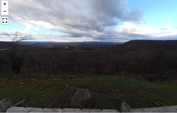
Arkansas Grand Canyon
Arkansas’ Grand Canyon may not be as deep as the one in the western US, but the views of the valley are stunning nonetheless. Located along scenic Highway 7 just a few miles south of Jasper, AR. you can pull off the highway and catch the views on your drive. This roadside area has a…Read more
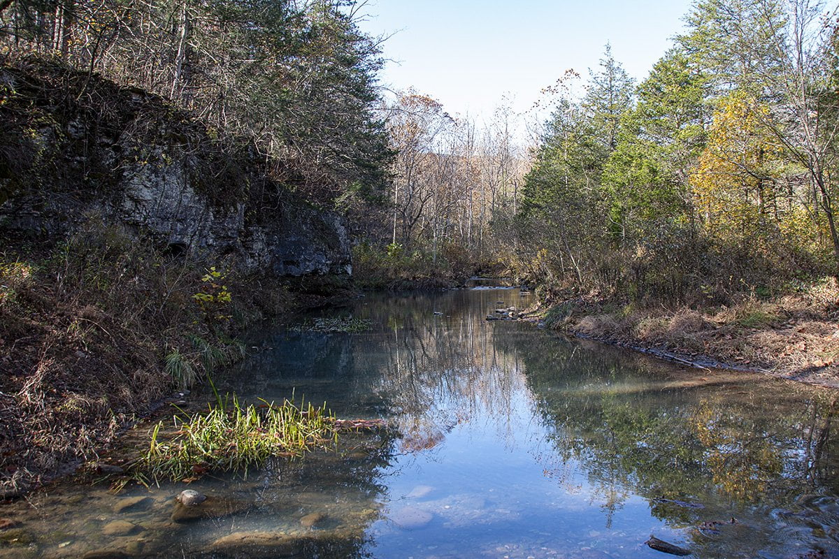
Thunder Canyon Falls w/360° Photos
The weather was perfect for a hike on November 5, 2020. It was clear and cool as the day started but it quickly warmed into the 70s. The fall colors are in full swing and the colors were absolutely brilliant. It was with this backdrop that we left to hike the Cecil Creek Trail on…Read more
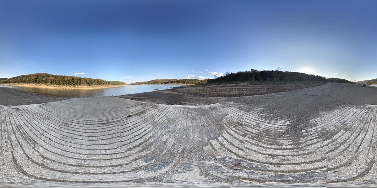
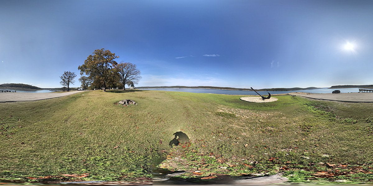
CCC Access To Bull Shoals Lake
CCC access is a concrete boat ramp located on Marion County Road 8050 between Moccasin Creek and Jimmie Creek on the lower portion of Bull Shoals Lake. Bull Shoals Lake is an impoundment of the White River that is one of the lakes built for flood control of the river. There are plenty of creek…Read more
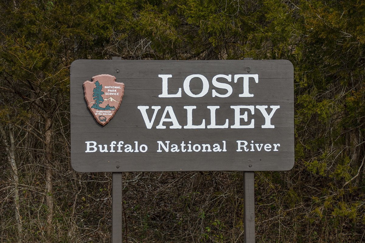
Hiking The Lost Valley Trail
The Lost Valley Trail is maintained by the National Park Service within the Buffalo National River Park. It is a 2 mile in and out trail that has some amazing sights. From high bluffs along Clark Creek to Eden Falls, there is something to see all along the one-mile length of this trail. The Lost…Read more