The weather was perfect for a hike on November 5, 2020. It was clear and cool as the day started but it quickly warmed into the 70s. The fall colors are in full swing and the colors were absolutely brilliant. It was with this backdrop that we left to hike the Cecil Creek Trail on the Buffalo National River and see if we could find the Thunder Canyon Falls.
All Photos In This Post Are 360° photos. Use Your Mouse To Scroll Around The Scene.

The camera we use for 360° photos. Click the photo to get yours today!
We arrived at the trailhead around 9:30 a.m. and set out to find the falls. After confirming with the map at the trailhead that our information was correct and that we needed to make 4 stream crossings on Cecil Creek we set off on our adventure.
The trail makes a slow descent to the Cecil Creek stream bed. Along the way, we met a young lady who was walking a small dog. She asked us if we knew where Thunder Canyon Falls was. When we replied that it was our first trip she said she had spoken to quite a few people who had tried and failed to find it. She said she was unable to find the falls as well. Since we hadn’t been there before she decided to end her hike and not join us since she wasn’t sure we could find it either. But I was confident we could because I had spent some time studying maps on Google and had a pretty good idea of where to look.
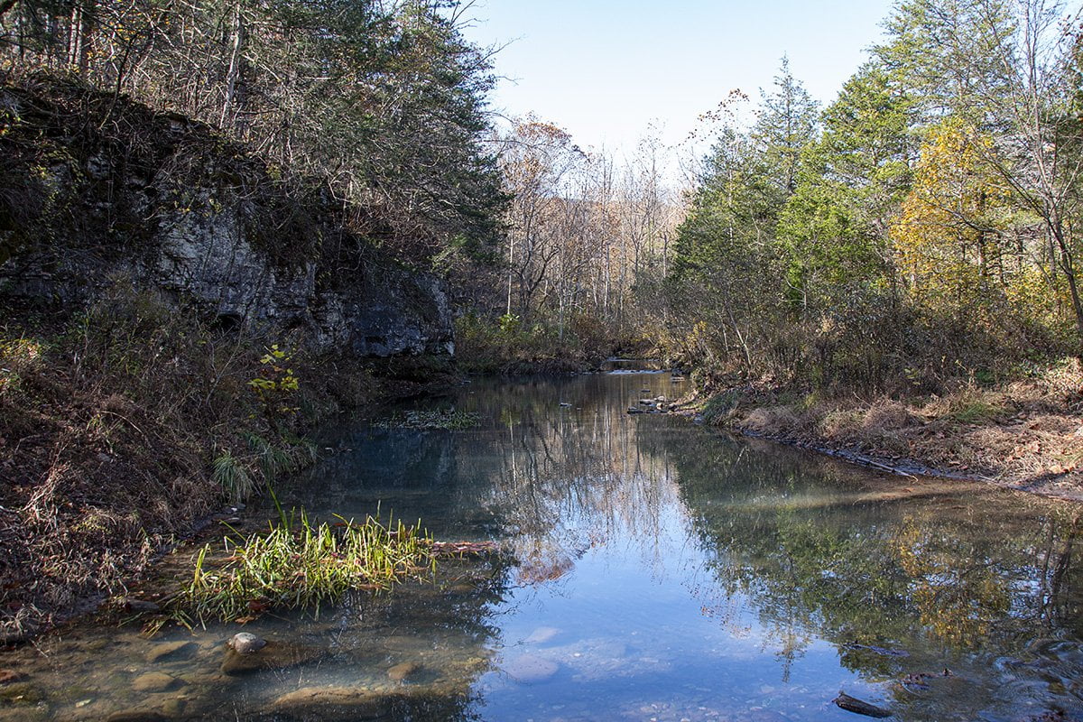
At the first crossing, there was a small flow and the water wasn’t deep. I had brought a pair of water shoes just in case there was deep water in Cecil Creek. I didn’t want to have to make the whole hike with wet feet so bringing water shoes would prevent that. Luckily this wasn’t necessary here. It turns out that the flow was created by the outflow from Van Dyke Spring. The spring is up another creek that runs into Cecil Creek just downstream. Here is a photo of the spring area. You can see that where I am standing is dry but just downstream is where the water from the spring enters the creek.
After this point, the trail meanders along the creek and is pretty much level. Along this area, you’ll get to see bluffs and side creeks that run into Cecil Creek. The trail is mostly wide here because it is also used by horses. Just a warning here to beware of horse droppings on the trail. It isn’t pleasant to be walking along and step into a large pile dropped from the back end of a horse.
After a bit, the trail will take you back across Cecil Creek. You should be counting because you want to look for the trail to the falls right after the fourth creek crossing. This is another crossing where you might need to wade water to cross the creek. Fortunately, once again we were able to cross without getting too wet due to the low water level in the creek.
The trail pretty much follows this pattern through the third crossing. The scenery is truly breathtaking with lowland old-growth trees all around you, along with amazing views of the bluffs surrounding you on all sides.
As we approached the fourth crossing I had already spotted where the bluff line curved to make what looked like a canyon. When we arrived at the final water crossing the water in the creek was running beneath the rocks. That made this one a dry crossing as the rocks were totally dry on top, as you can see in the photo below.
Once you make this crossing you want to immediately start looking to your left. This is where the trail branches off into the canyon to Thunder Canyon Falls. There is a tree with a yellow trail marker right beside Cecil Creek Trail. Find that tree and the trail to the falls will be on the left going up the hill.
This is where the trail gets rough. I wouldn’t recommend this trail for small children. The trail gets narrow and the rocks and trail get slick in places. Water seeping from the surrounding rocks makes the trail somewhat muddy. In addition, the smooth rocks down in the creek bed have been worn by eons of erosion.
As you can see from the photo below if you slip and fall from up here it is a long way down to the creek bed. Cautious and slow are the words of the day as you hike into the canyon where the falls are located.
The smooth areas of the bedrock that are wet are extremely slick. I know because I was trying to get as close to the falls as I could and suddenly found myself on my back on the wet rock. I very nearly smashed the back of my head into the rock when I fell. I’m not sure how I kept my head from striking the rock as it snapped back when I landed.
Undeterred, I managed to hop from dry spot to dry spot and get the shot below.
The falls have worn through the rock and created a narrow slot where the water flows into the creek below. As I said, cautious footwork is vital in this area as the rocks are slick due to the constant water flowing and splashing onto them. Remember that you are over a mile and a half back in the wilderness with no cell service. This would not be a good place for a serious injury because you were being careless. Most people we asked about this hike admitted that they had fallen at least once while near the falls. This is not to discourage you but simply to let you know that caution is necessary when visiting these amazing areas of the Natural State. For more information on Thunder Canyon Falls, you can visit the Buffalo National River website.
Below is a map to help you find the Cecil Creek Trailhead.