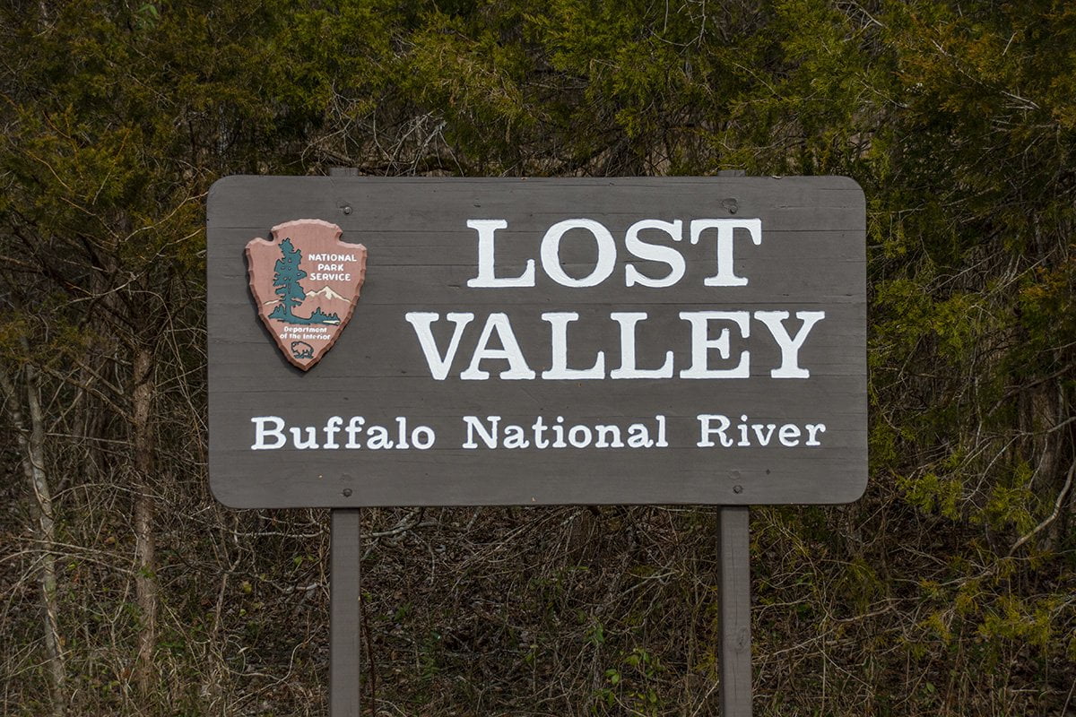
The Lost Valley Trail is maintained by the National Park Service within the Buffalo National River Park. It is a 2.3 mile in and out trail that has some amazing sights. From high bluffs along Clark Creek to Eden Falls, there is something to see all along the length of this trail.
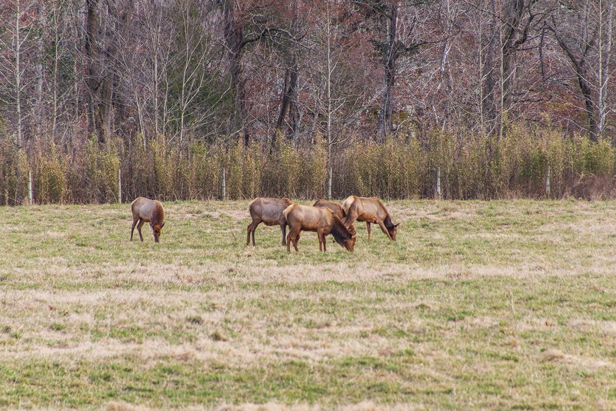
The Lost Valley Trail is located on Highway 43 near Ponca, Arkansas in Boxley Valley. You may know Boxley Valley because of the elk that people flock to see in the area. In fact, we were able to see the elk in a field along the highway as we were driving in.
From the parking area, you will see the trailhead along with a pavilion and restrooms. There is a sign at the trailhead that gives you information on the sights you will see on your hike.

The first one-quarter of a mile of the trail is handicap accessible and paved. It is on this section of the trail that you can see the huge limestone boulders which have fallen from the bluffs above Clark Creek. This is called the Jigsaw Blocks. There are huge boulders in and along the creek. As you hike a little further along the trail, you can see the Natural Bridge. If you look in the top right of the photo below you can see the opening in the limestone where the creek enters.
As you continue along the trail from the Natural Bridge you begin ascending a pretty steep part of the trail as the bluff line follows Clark Creek. After a short hike, you will see a trail to your right that leads down to the natural bluff shelter known as Cob Cave. This shelter was so named because in 1931 archeologists from the University of Arkansas found artifacts, including corn cobs, in the shelter dating back around 2,000 years.
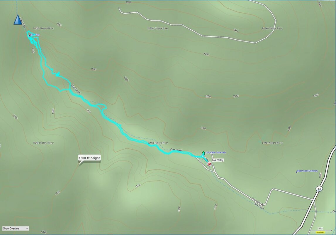
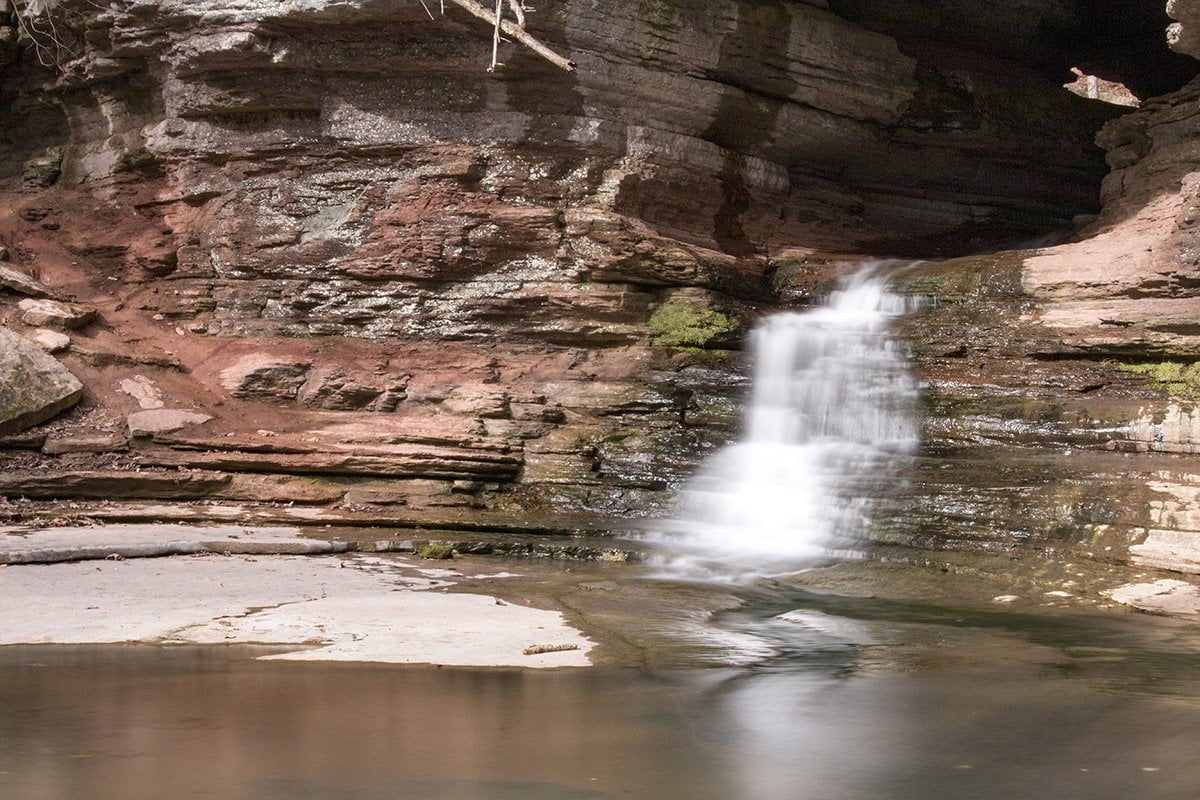
As you explore Cob Cave you will also be able to see Eden Falls. Eden Falls drops from an opening in the rocks above Cob Cave. The waterfall drops in several sections before finally ending in a pretty blue-green pool next to Cob Cave.
Follow the trail back up out of Cob Cave and turn right to get to the top of Eden Falls. This is where the climb gets somewhat tougher. You will need to climb the stone stairs until you reach the top of Eden Falls. This area can be slick so use proper caution.
Now you’ll notice that Clark Creek flows out of an entrance in the hillside to create Eden Falls. This is the entrance to Eden Cave. If you follow the cave about 200 feet you will enter a room where there is an underground waterfall.
If you decide to try and enter the cave be sure you have flashlights for each member of your party with fresh batteries. Use caution and don’t disturb the natural surroundings. You may even be able to see bats hanging from the ceiling.
Unfortunately, on this trip, I had taken my bright flashlight out of my backpack at home. I was left with a small flashlight that wasn’t bright enough to attempt the trip back into the cave. I only managed about 50 feet before having to turn back. Below is a photo I got from inside the cave.

If you want to follow our adventures in the Ozarks please visit and bookmark our home page. Each time you visit you can see our latest adventures posted there for you to enjoy.