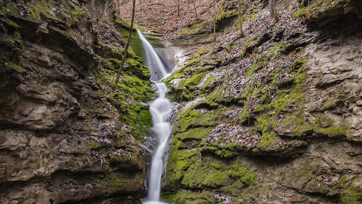
Elise Falls is one of the amazing sights you can see if you visit the Smith Creek Nature Preserve. The Smith Creek Nature Preserve is over 1300 acres of Ozark forest land preserved to protect the land and wildlife. The preserve is located on State Highway 21 just a few miles south of Ponca, Arkansas.
The Smith Creek Nature Preserve sits atop Sherfield Cave. This cave is home to one of the largest colonies of Indiana Bats in the state of Arkansas. Although the cave is off-limits due to the fragility of the ecosystem it contains, Smith Creek Preserve has a bounty of other sights for you to see.
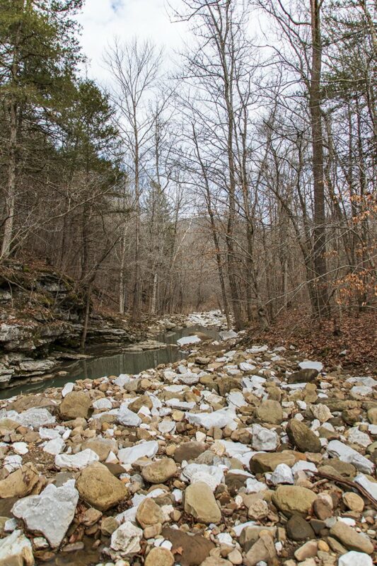
One of these sights is Elise Falls. From the parking area, the hike down to Elise Falls is about 0.75 miles. The hike down to the falls is pretty much downhill all the way to Smith Creek. Once you reach the creek, the hike levels off and it is a short hike to Elise Falls.
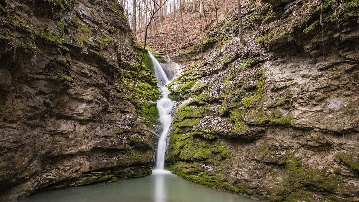
After crossing the creek, look for a lightly used side trail to your left. There will be a small side creek that joins Smith Creek. Elise Falls is about 75 yards up this side creek. The day we were there, we were lucky because there was a small pile of rocks that marked the trail to the left. Otherwise, we would have probably missed it. The falls are around a bend in the creek, which you couldn’t see from the main trail.
Crossing the creek was fairly easy on this day because there was only a small amount of water in Smith Creek.
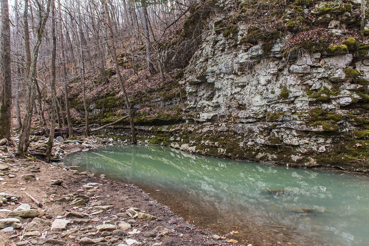
The pool above is just down the creek from the crossing to Elise Falls. The photo below shows the creek on the upstream side of the crossing.
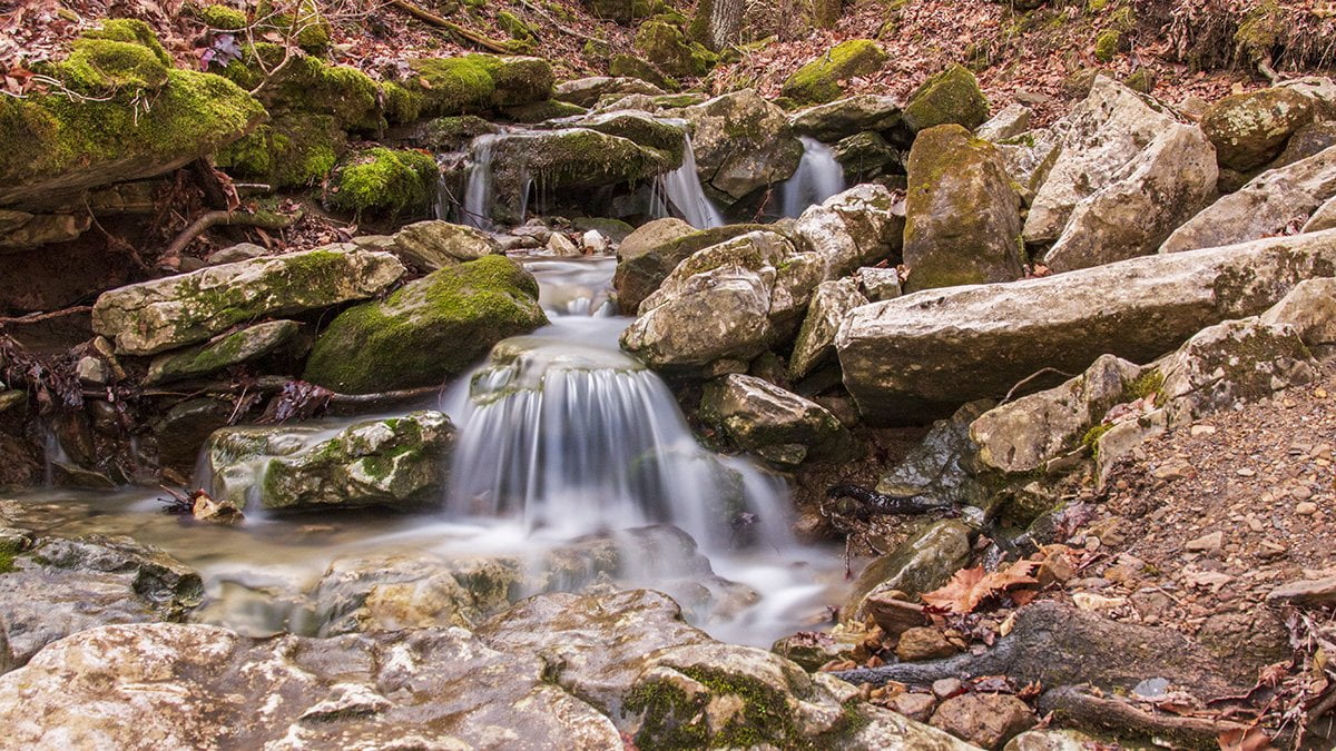
You will see an opening with a small cascade entering Smith Creek from directly in front of you. Walk this small creek a short distance and you will round a bend and there will be Elise Falls.
Watch your step here because the rocks can be slippery. If you take your time, the hike back is not bad and there is not much elevation change. Below is another shot of the falls from directly in the creek downstream.
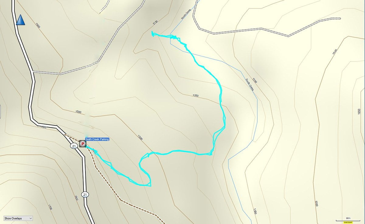
Once you have hung out at the falls for a while, there is a choice to make. If you decide to go on along the trail you used to get here, there are many more sights. The distance if you decide to make the loop trail hike back to the parking lot is about 2 1/4 miles. The other option is to walk the trail back the way you came.
Since the trail coming down was all downhill, it is all uphill coming back to the parking area. This is why I would rate this trail as moderate. Below is the GPS track for the trail. You can click on the image to get a larger view.
On this day we had already been to the Lost Valley Trail, so it was getting late in the day when we started out. This was in early February, so the day was short. We needed to stop a few times on the way out to catch our breath due to the steep walking.
The trail is well maintained and I am looking forward to the opportunity to visit the Smith Creek Preserve on another occasion and hike the main trail to see some of the other wonders this beautiful area holds.
For further information on the Smith Creek Preserve you can visit the page for the preserve on the Nature Conservancy website.