- Click Photos For Larger Image
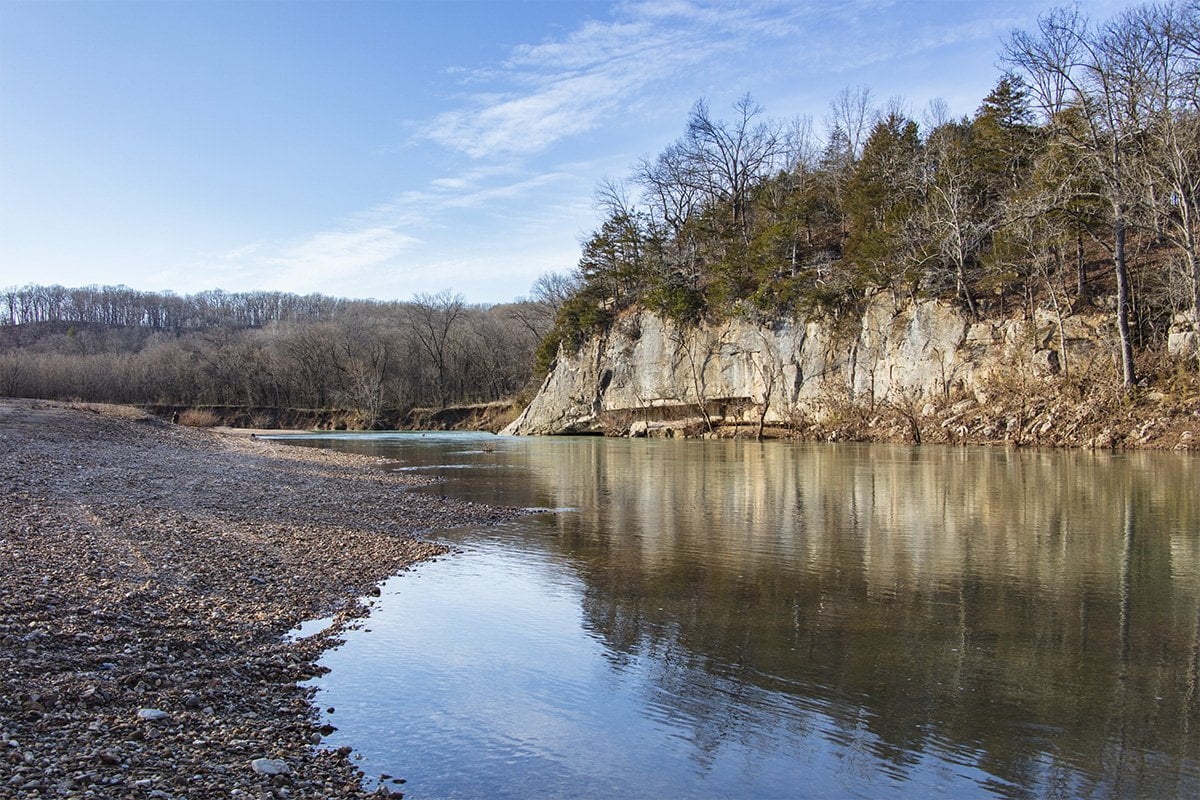
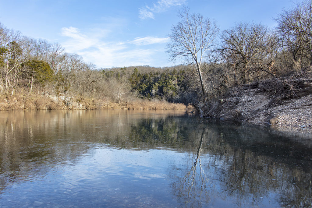
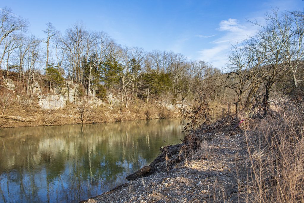
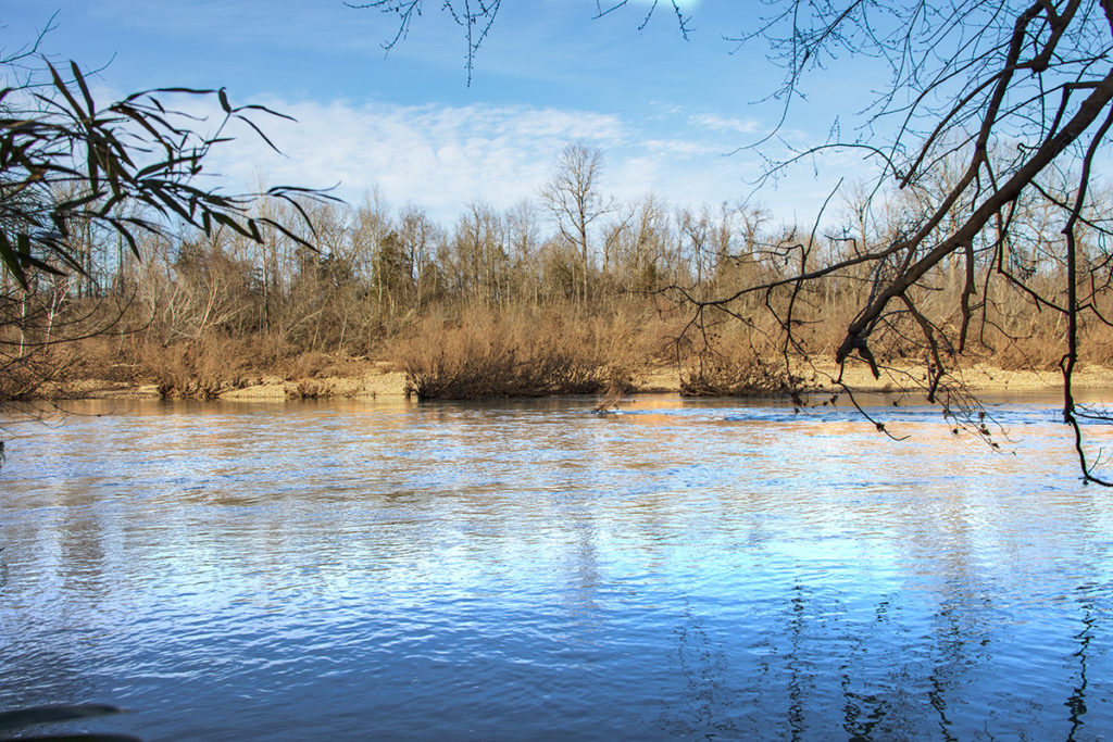
Grinder’s Ferry is a popular swimming hole and canoe launch site on the Buffalo National River. Grinder’s Ferry is located between Marshall and St. Joe, Arkansas, on US Highway 65. If you are traveling from central Arkansas, take US Highway 65 North from Conway. The turn-off to reach the parking and gravel bar is 10.6 miles north of Marshall on the right, just before you cross the bridge. From St. Joe on US 65 South, the turn-off is 5.1 miles on the left immediately after you cross the bridge.
The camera we use for 360° photos. Click the photo to get yours today!
360 Photo From Grinders Ferry- 7/12/21
Use Your Mouse or Move Your Phone to Look Around
The popularity of Grinder’s Ferry results from the easy access to the Buffalo River. You can walk across the gravel bar from your car and you are at the edge of the water. Camping is allowed here and there is no cost to camp. Swimming is also popular; many people swim here during the hot summer months. In addition, Tyler Bend park is only a short distance to the south. Tyler Bend is a popular camping and float area on the Buffalo National River also.
The Buffalo River is known nationally as one of the most beautiful scenic float destinations anywhere. From towering bluffs to white water during the wet season, the Buffalo River has something for everyone. During the summer when rain is scarce the Buffalo becomes a tranquil stream. It is during this time that many intrepid adventurers head to the Buffalo to launch canoes and kayaks for a peaceful float trip down the river. There are numerous places to rent canoes and kayaks, or you can bring your own.
The history of the area is quite interesting. During the late 18th and early 19th centuries, the area was a hotbed for lead, zinc, and copper mining. Unfortunately for the miners hoping to strike it rich here, the metal ores in the area appear in clumps and not veins of ore. The unique geology of the area accounts for this. Normally miners find a vein of ore and then continuously mine it. In this area, miners would find a clump of ore, mine it out, then have to go find another clump of ore. This made mining extremely difficult in the area.
The towns of St. Joe and Gilbert are each only a few miles from here. These towns sprang up due to the mining in the area, and the Missouri and North Arkansas Railroad ran through this area. The railroad shipped mined ore and agricultural products north to Springfield, MO. The town of St. Joe has restored the historic railway depot in town. You can visit the railroad museum while you are there as a fun side trip.
Just to the south along US 65 is Tyler Bend Park and Campground. The park has a ranger station, camping, hiking trails, and river access also.
Now that you know about this beautiful place you may want to pack your swimsuit when you pass through. Nothing would break the monotony of a long drive like a dip in the cool, clear, pristine Buffalo River.


