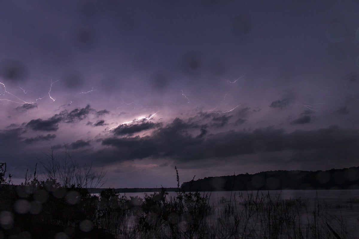
Storm Chase Update 3-29-20-Nothing much happened on the storm-chasing front this week until Saturday, March 28. I got out early to try and intercept a line of thunderstorms that were moving into our area out of Oklahoma.
I set up in a high area near Cotter, Arkansas. This is a short distance from Mountain Home, AR. The line of storms was mostly producing lightning from stronger embedded thunderstorms in the line.
As happens many times in storm chasing I was watching a storm that weakened as it got closer to me. As the rain began to fall I headed back to get fuel and watch the radar for any indications of storms I could get in front of to get some lightning photos.
Unfortunately, later in the evening, a tornado from a supercell touched down near Aragon, AR causing damage. Later this same supercell moved into Jonesboro, AR, and spawned a large and dangerous tornado. It caused severe damage and injured 6 people in the last report.
The Weather Channel has a video of the tornado and some on-the-ground reports at this link:
https://weather.com/news/news/2020-03-28-severe-weather-tornado-impacts-plains-south-midwest
Our thoughts are with the people of Jonesboro as they begin the task of cleanup today.
Below is a Facebook Live video I did as I set up to monitor the storms.
https://www.facebook.com/100000347739749/videos/2973673495987546/Be sure and check out these other storm chase updates:
