Description
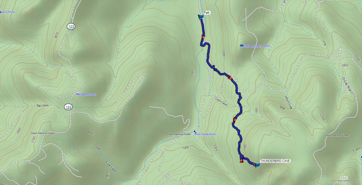
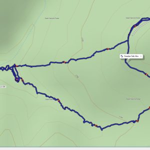
This product is a digital GPS file that contains the coordinates and route information for Thunderbird Cave in the Ozark National Forest near the town of Bass in Arkansas.

Thunderbird Cave GPX File: Your Ultimate Guide to Exploring Nature
Embark on an unforgettable journey to the scenic Thunderbird Cave with our .GPX file. This digital trail guide provides everything you need to navigate the area with ease.
Features:
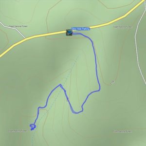
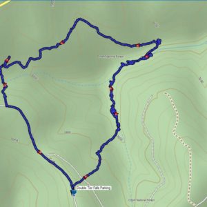
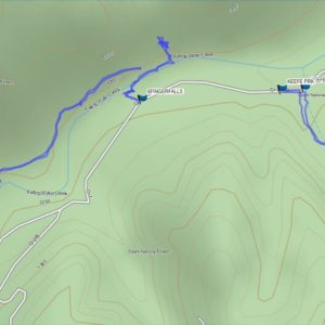
- Detailed Trail Map: Gain access to a comprehensive GPS-enabled map of the Thunderbird Cave, showcasing every twist, turn, and landmark along the way.
- Elevation Profile: Plan your hike effectively with a detailed elevation graph that outlines ascent and descent points, helping you gauge the difficulty and timing of your adventure.
- Customizable Navigation: Compatible with popular GPS devices and mobile apps, this GPX file allows you to personalize your route based on your starting point or desired distance.
- Offline Access: Download and use the file offline to ensure you stay on track, even in areas with limited or no cellular signal.
How to Use The File
After you checkout, you will receive a link to download the file. After downloading the file you can use the software that came with your brand of GPS unit to upload the file to the unit. From there you can call up the route information on your handheld GPS without the need for a connection to cell phone towers. Many of these areas are without cell phone reception, so you may not be able to use your phone mapping app to guide you. You never have to worry about that when you purchase the GPX file. You get instant access and you will always have it for future reference.
Don’t wait, get your copy of the file today!
You might also like some of our other GPS hiking trail files.

Reviews
There are no reviews yet.