Welcome to Lost In The Ozarks, your ultimate destination for outdoor enthusiasts and those looking to reconnect with nature. We are passionate about exploring the great outdoors and sharing our knowledge about the uses of wild plants for food and medicine.
Featured Hiking Video
Explore the beauty of nature with Lost In The Ozarks. Discover the joys of outdoor activities such as hiking, camping, and fishing. Learn about the various wild plants found in the Ozarks and their uses for food and medicine. Join us on an adventure to explore the wilderness and embrace nature.
At Lost In The Ozarks, we are a team of outdoor enthusiasts with a passion for exploring the Ozarks and sharing our knowledge about wild plants. We believe that connecting with nature is essential for a healthy and fulfilling life. Our mission is to inspire others to embrace the wilderness and discover the benefits of using wild plants for food and medicine.
Growing Mushrooms Tutorial
At Lost In The Ozarks, we are committed to preserving the natural environment and promoting sustainability. We believe in responsible foraging practices that ensure the long-term health of wild plant populations. Our articles help provide opportunities for individuals to develop a deeper understanding and appreciation for nature.
Stay up-to-date with the latest news and events at Lost In The Ozarks. We regularly post articles on our blog about outdoor activities, foraging, and wild plants. Follow us on Facebook and join our Facebook Group to receive updates and special offers.
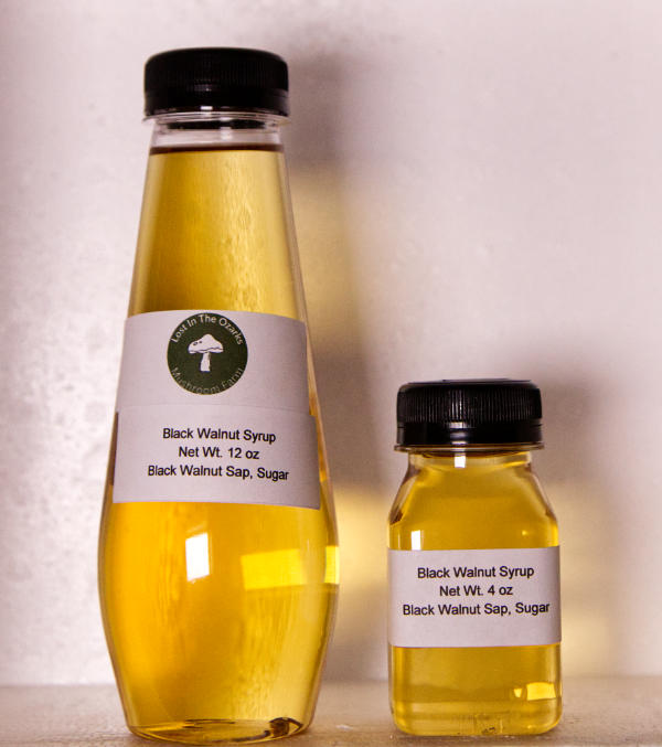
Featured Product
We would love to hear from you! If you have any questions or comments, please feel free to contact us. You can reach us by phone, email, or through our online contact form. We look forward to hearing from you and helping you explore the great outdoors with Lost In The Ozarks.