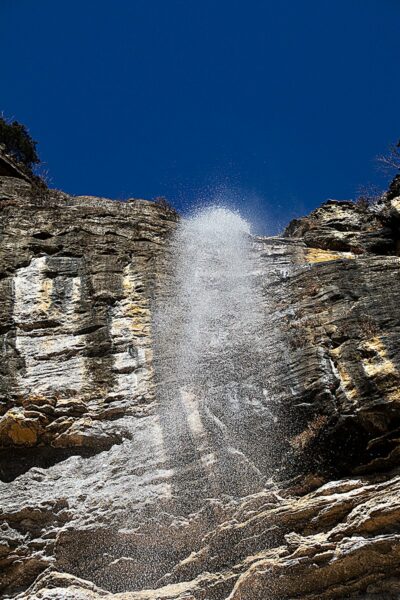
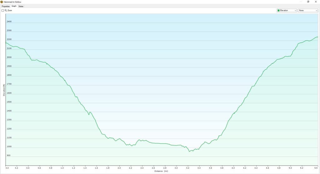
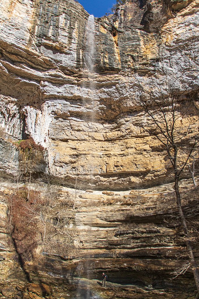
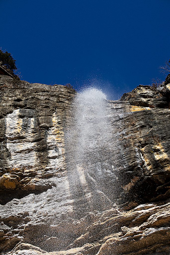
Hemmed In Hollow Falls is the tallest waterfall between the Rockies and the Appalachian mountains at around 209′ tall. The trail down to the falls is steep and rugged, with an elevation change of about 1200′. I will say that it isn’t as bad as I had expected, given all the accounts I had read online. There are many posts talking about how strenuous the hike is. It isn’t a level stroll through a park, but it isn’t totally terrible either. There are some steep grades coming back out, but if you take your time to stop and catch your breath, and you are in reasonably good shape, it is not that bad.
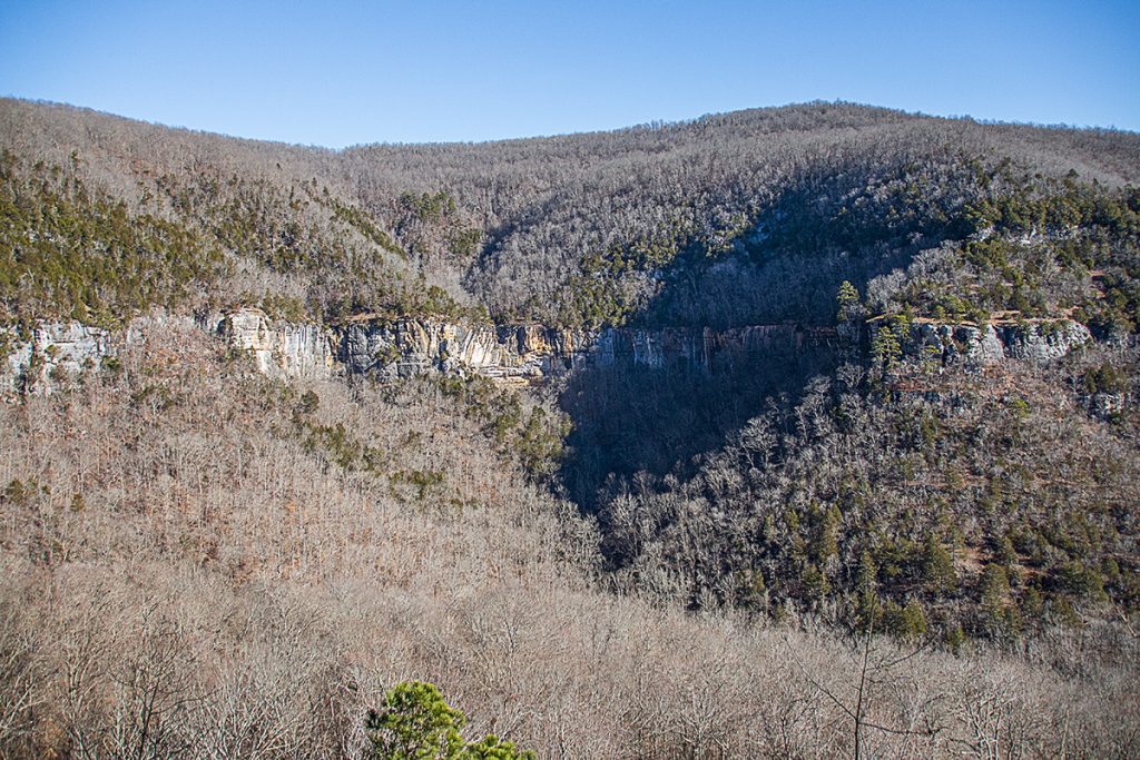
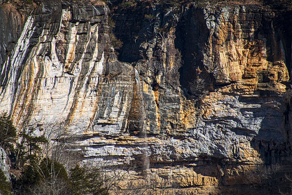
We left the parking area to begin the hike at 0943, and we were back at the parking area a little before 1400. We spent about 25 minutes at the falls taking pictures and exploring. We also stopped at the overlook about 1.4 miles in and had spectacular views of the Buffalo River Valley and the Falls from across the hollow. The area is absolutely stunning, rugged, and wild.
The camera we use for 360° photos. Click the photo to get yours today!
360° Photos. Use Your Mouse Or Move Your Phone To Look Around.
Click the photos below to see them at a larger size.
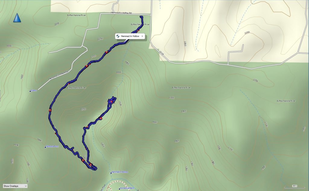
GPS Track
Download The GPS File
GPX files are also known as GPS Exchange files. These are text files that contain route data that you can download to your computer and then upload to your phone or handheld GPS unit.
Elevation Graph
Hemmed In Hollow Overlook at 1.4 miles
Zoomed To The Falls From The Overlook
My Friend Dave Under The Falls
On the map above click on “View Larger Map” to go to Google Maps. You can copy & paste the code below into Google Maps to view the location if needed. You can also use the code in Google Maps on your phone. Use the satellite view for the best overview.
Code
3MCV+V3 Compton, Arkansas
