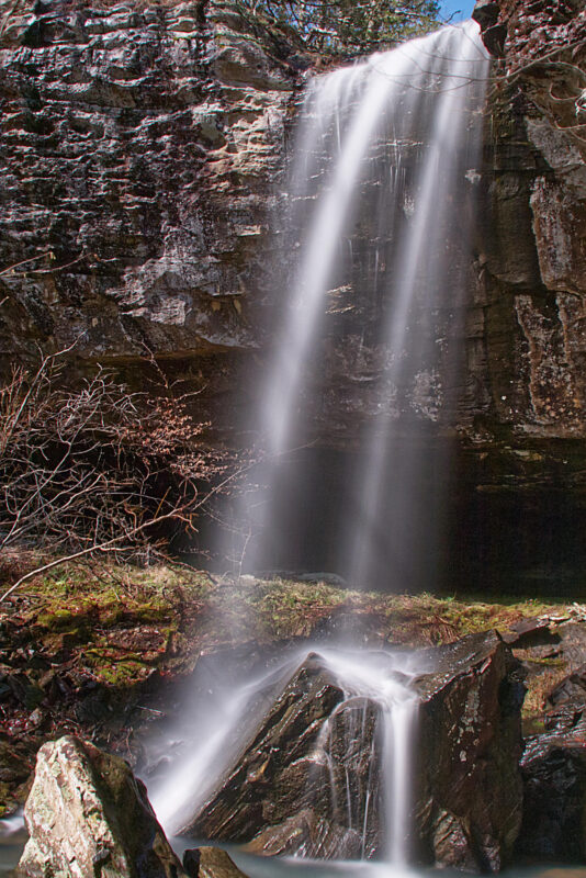
Bearcat Hollow Falls is located in the Richland Creek Wilderness near Witt Springs, AR. This area is part of the Ozark National Forest. It is a wild area with plenty of scenic beauty to be found within its area which encompasses almost 12,000 acres.
There is very little, if any, cell phone reception in this area. To navigate in this area you should be familiar with a map and compass or carry a hand-held GPS receiver. This is the GPS receiver we use and recommend. You can see the Garmin GPSMap 64sx here.
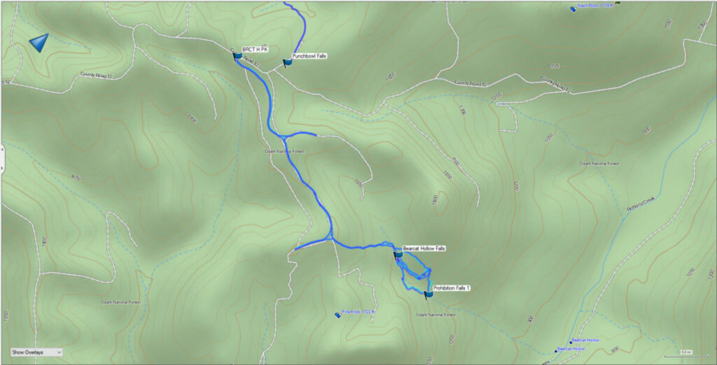
This hike begins at the junction of Searcy 12 & Kettle Corn Road. The road is gated so you will need to park on the main road to begin your ingress into the area. The US Forest Service requests that you avoid parking in front of and blocking the gate. The GPS coordinates and trail map for the hike can be downloaded at the link below.
Download The GPS File
GPX files are also known as GPS Exchange files. These are text files that contain route data that you can download to your computer and then upload to your phone or handheld GPS unit.

The first part of this trail is fairly easy. You will hike along Kettle Corn Road until you get to the second old road trace leading off to your left. This will be at around the 1-mile mark of the hike. Once you leave Kettle Corn Road the old road trace goes downhill through thickets and briars. You can see that when you watch the video. Eventually, you will descend to the level of the creek.
Follow the creek downstream for a short distance and you will be at the top of Bearcat Hollow Falls. We followed the bluff line around until we found the break to descend off the top of the bluffs. Another option is to follow a marked trail over the peak of the hill and down to the break. We missed that trail on the way in, but we took it out on the way back.
The total for this hike was about 4.8 miles with 500′ of elevation change. There are some challenging parts of this trail to get below the falls. But once you get below Bearcat Hollow Falls you can simply follow the creek downstream to see Prohibition Falls, another beautiful waterfall on this drainage that flows downhill and meets Richland Creek.
