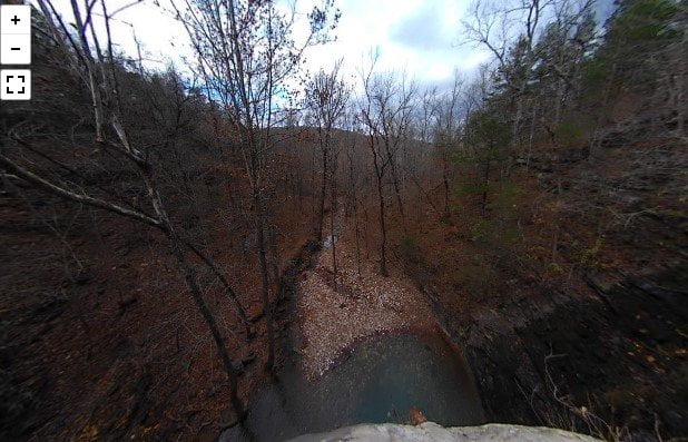
Twin Falls trail is a short hiking trail that is located at Camp Orr Boy Scout Camp. The area beyond the parking area is private property and there are signs to show you where to park. There is also a small sign pointing the way to the trail to Twin Falls. The trail to the bottom of the falls may be muddy when there have been recent rains. Besides the lower trail, there is also an upper trail that leads to the top of the falls. BE CAUTIOUS if you venture to the top of the falls because there are no safety rails, etc. The rocks can be very slick and a fall from up here would not have a good ending. The photos below are from the trip we took there on 11-12-20. Some friends were visiting and wanted to check the falls out.
Be aware that the road down to the falls is extremely steep. I would not recommend taking anything but a 4-wheel drive or a high SUV down there. The road is even rougher than the last few times I have been down there. So be aware if you do decide to drive down there, you may not be able to climb back out with a standard vehicle.
The camera we use for 360° photos. Click the photo to get yours today!
All Photos In This Post Are 360° photos. Use Your Mouse To Scroll Around The Scene.
This is a photo of the parking area at the trailhead.
Directly across the road from the parking area is the trailhead. The trail is only a couple of hundred yards long. It leads to the bottom of the falls. The best time to visit is after we have had a few days of rain. However, there is always a small amount of water over the falls due to the springs that are located right above the falls.
A short distance back toward the parking area is a side trail that will lead you to the top of the falls.
If the creek isn’t running like on the day we visited you can go upstream a short distance and find one of the springs that feed the falls. It comes out of the rocks a little above the creek. There is also a small cave above the spring with a fence covering it.
On the map above click on “View Larger Map” to go to Google Maps. Then copy & paste the code below into Google Maps to view the location. Use the satellite view for the best overview.
Code
3P3R+VQ Harrison, Arkansas

