360 Photo of the Indian Rockhouse Trail
Use Your Mouse or Move Your Phone To Look Around
You couldn’t ask for a better day to go hiking. The weather was clear and the humidity was low as the day started. A couple of friends and I had planned this trip earlier in the week. They had never hiked the Indian Rockhouse Trail, and I had only done it once before. We planned to go on a Saturday in mid-October.

The camera we use for 360° photos. Click the photo to get yours today!
We headed out for the trail around 8:00 am for the drive. We stopped along the way to get fuel and pick up sandwiches to eat when we finished the hike. We arrived at the trailhead parking around 9:00. When we arrived, there were only two other cars in the parking area. This is a good sign that we wouldn’t encounter a lot of people on the trail.
We had discussed on the drive up to reverse the usual way that most people hike this trail. The Indian Rockhouse Trail has a couple of loop trails if you want to take them to see more of the amazing scenery. Check out this map.
We donned our hiking gear and walked from the parking area up the road to the trailhead to the left and started our descent down the trail. I would suggest that this is the best way to hike this trail. I have done it both ways and can say the ascent out of the area is easier starting from the left.
You can click on any of the photos to see a larger version.
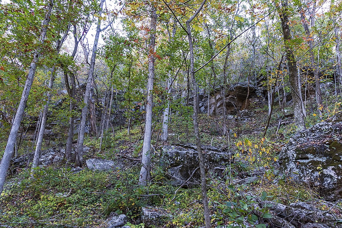
The scenery on the way into the area is amazing. I didn’t get to look at this area much the last time I was here. I was working hard to make it up the steeper parts of the trail and missed a lot. Going in this direction allowed a nice leisurely pace with only a few steep places. But steep downhill beats steep uphill anytime.

The first thing you will encounter on the way down is a small stream. At the time we visited, there has been an extended dry spell in our area. There was a small amount of water running. I’m sure there is a small spring somewhere up the creek.
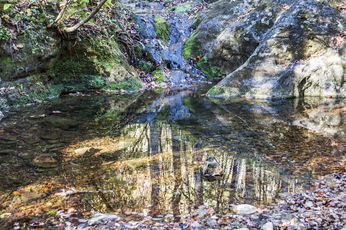
After you cross this stream, the trail runs pretty much parallel to the stream down to the next interesting rock formation. The Natural Bathtub is a formation that has worn from the rock over eons of erosion. It forms a natural rock tub as water flows through it.
At this point, we opted to take the upper trail, which turns to the left toward the goal of the hike. This is the Indian Rockhouse which the trail is named after. This is a large natural rock overhang that provided shelter for early Native Americans while they hunted and gathered food in the area. It is around a half-mile hike from here to the Indian Rockhouse. But don’t worry, there is plenty more natural beauty to enjoy on the way.
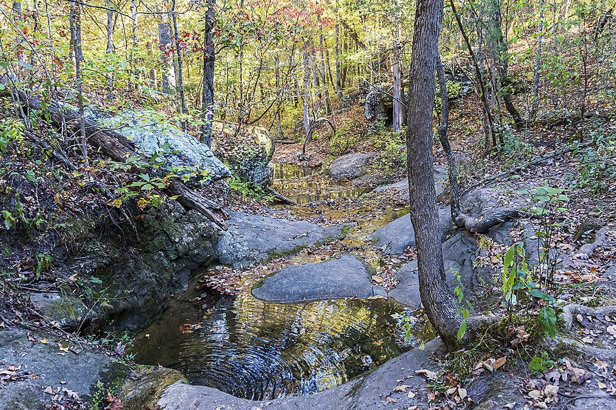
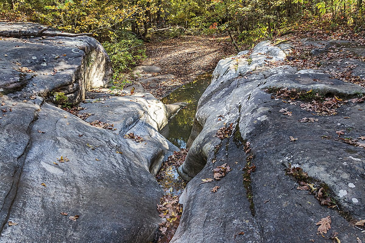
On the way, you will pass another spring and an interesting rock formation called the sculpted rocks. This is a place where the water has carved intricate shapes into the bedrock, forming a small cascade.
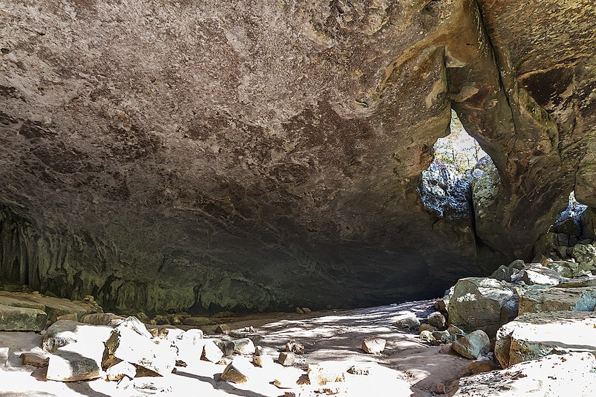
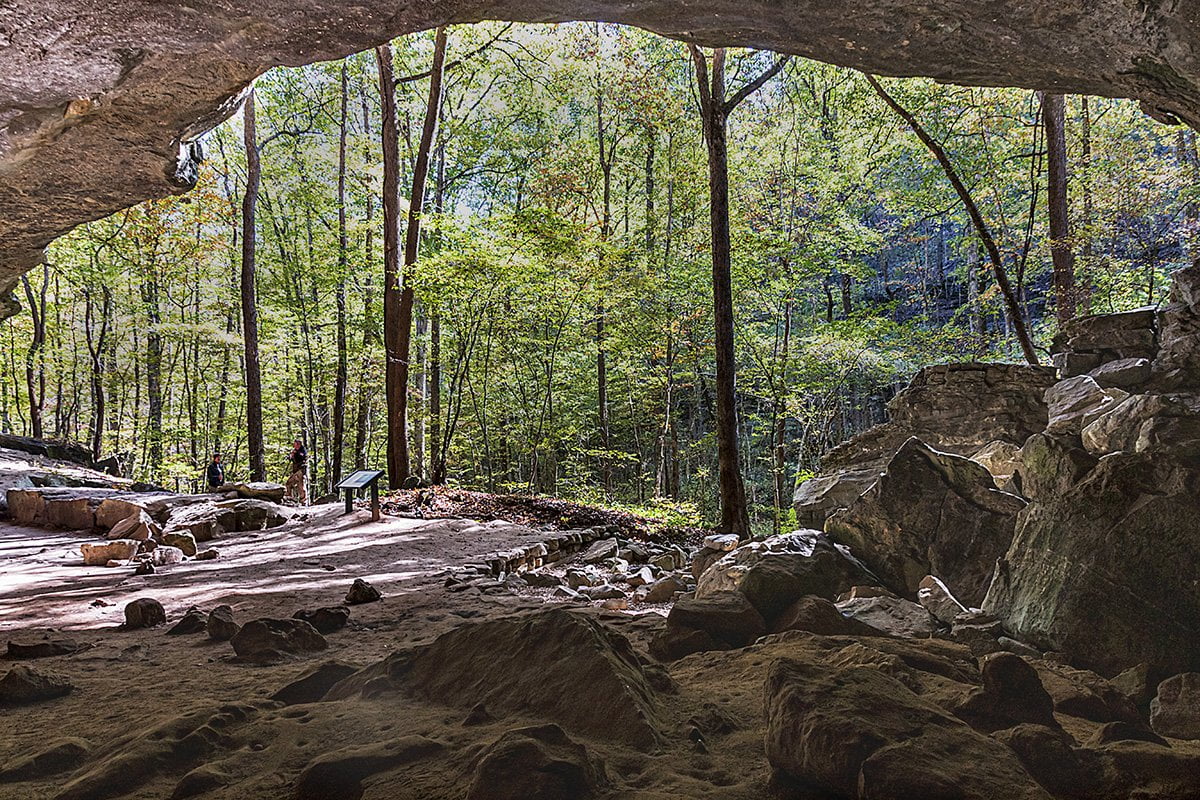
You’ll next cross a small bridge on the trail over the stream that formed these really cool rock formations. Then you will be approaching the Indian Rockhouse in short order. This, for me, is the crowning sight of the hike. A huge rock overhang with duel skylights on one end. On the other side is a spring-fed stream that flows through the back of the shelter. The clear water runs back underground a little further toward the front of the structure. There is also a small cave that is on the backside of this stream. We were lucky that since there hadn’t been any rain in a while, the stream was low, and we could cross and look into the small cave.
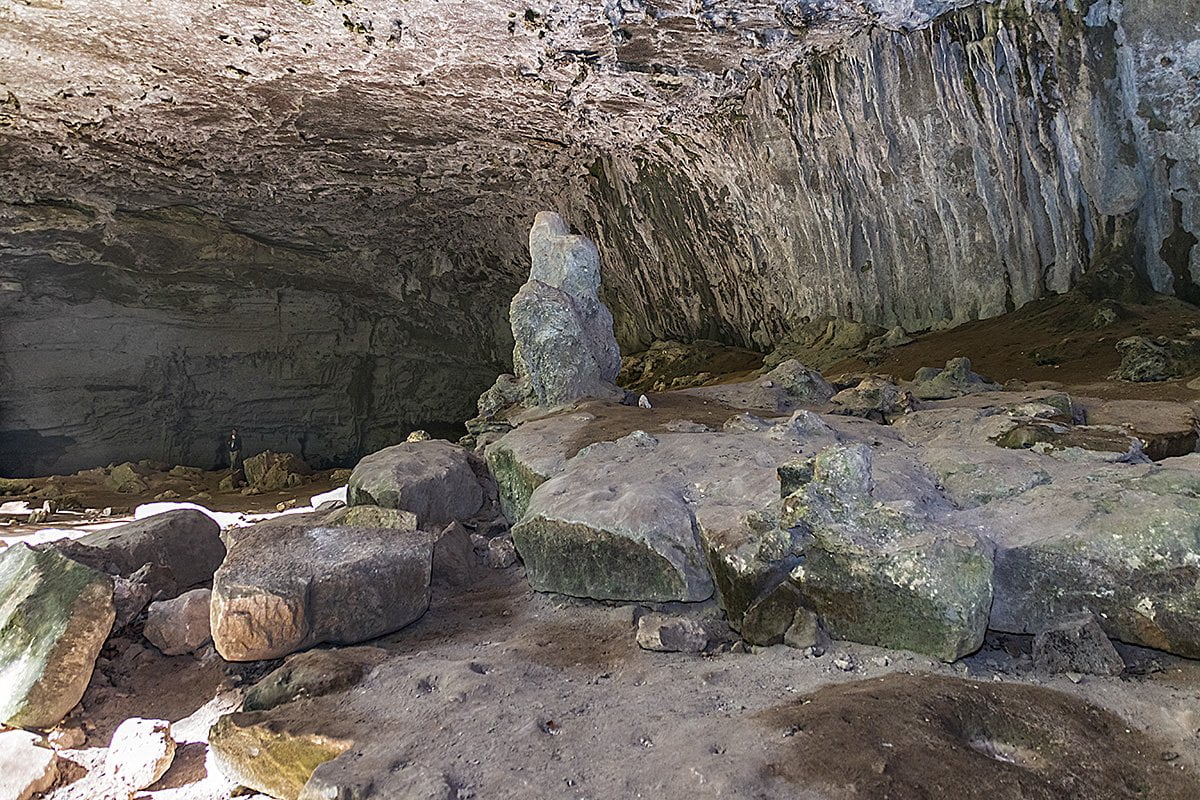
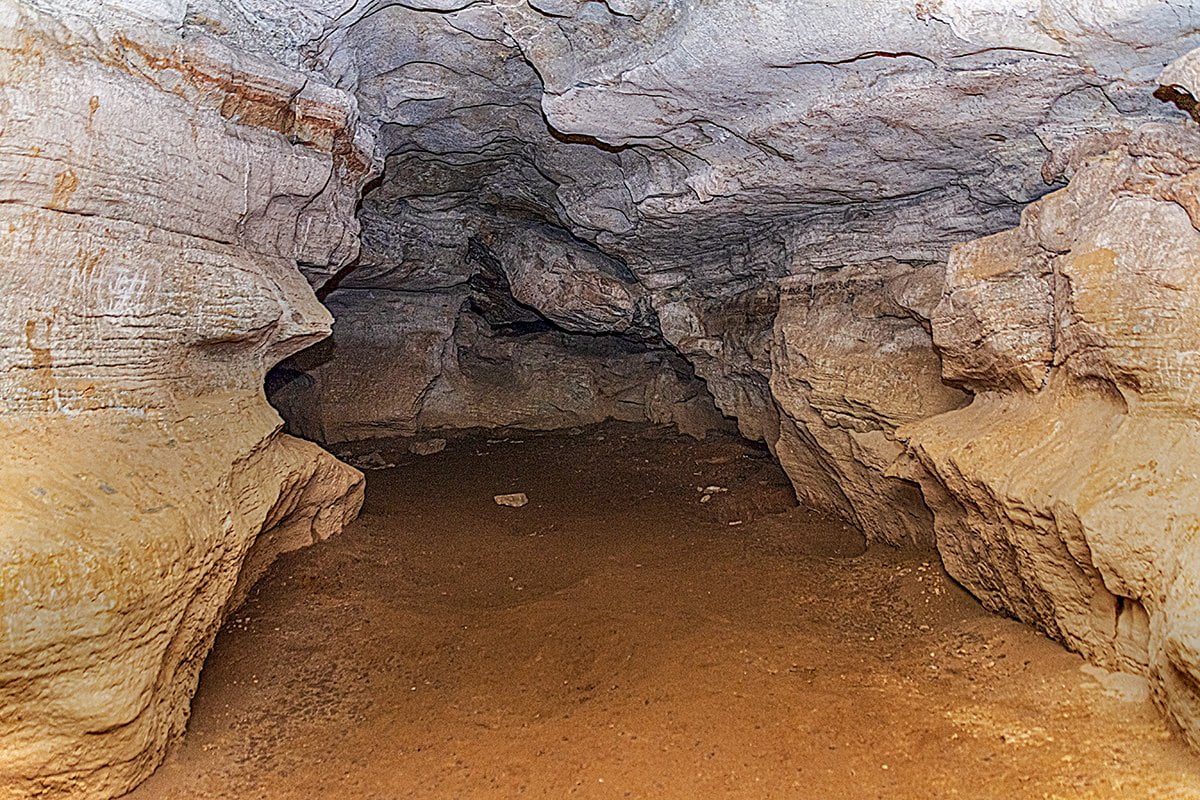
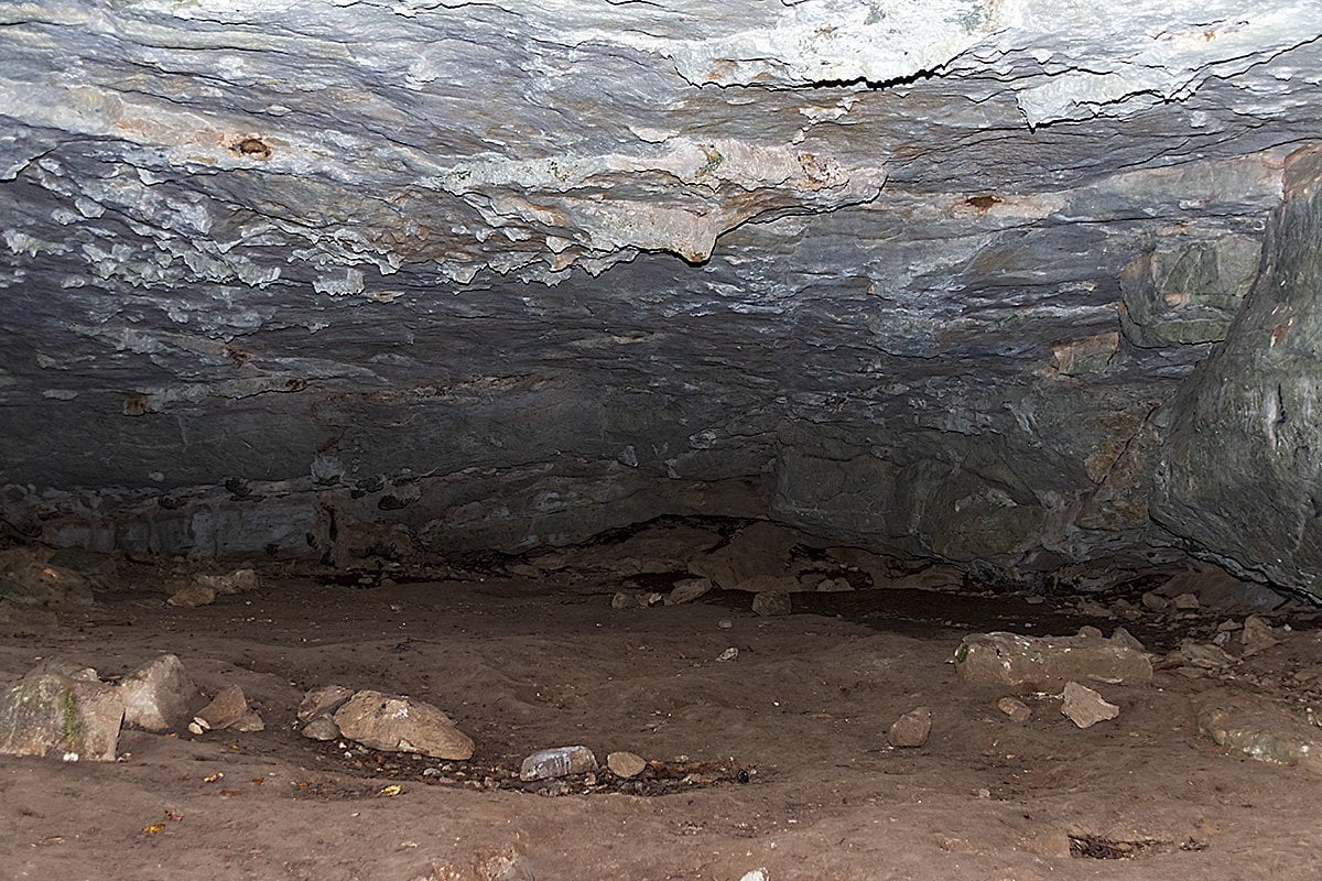
Although, in my opinion, this is the highlight of the hike, there are many more sights to see as you hike back out. Once you have explored the Rockhouse it is time to hike back. Take the same trail you entered on, and you will shortly come to a fork in the trail. Stay left and take the lower trail to see some different scenery. The lower trail leads back to the area of the Natural Bathtub. Stay straight on the trail, and you will follow Panther Creek for a while. This part of the Indian Rockhouse Trail has high bluffs and other scenery to keep your interest. A short hike up this trail will bring you to another, smaller rock shelter. You can go in and walk around inside this shelter too.
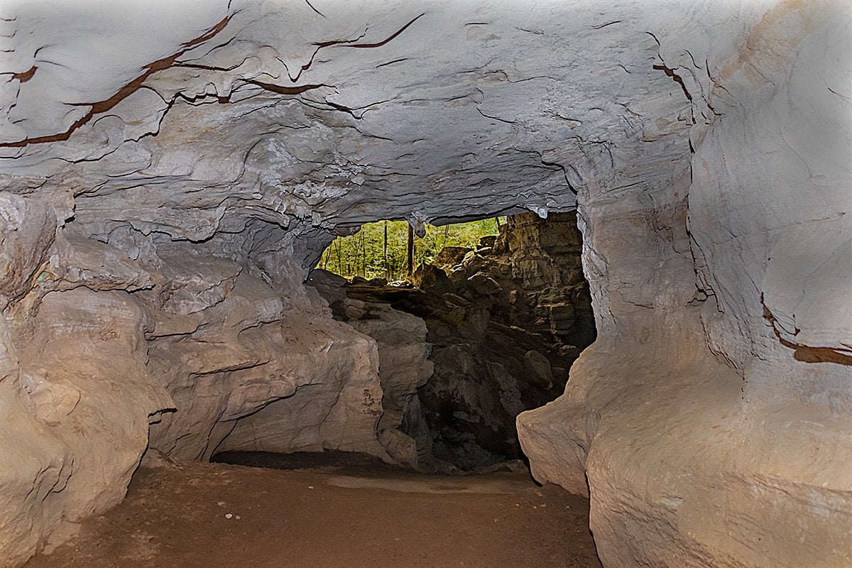
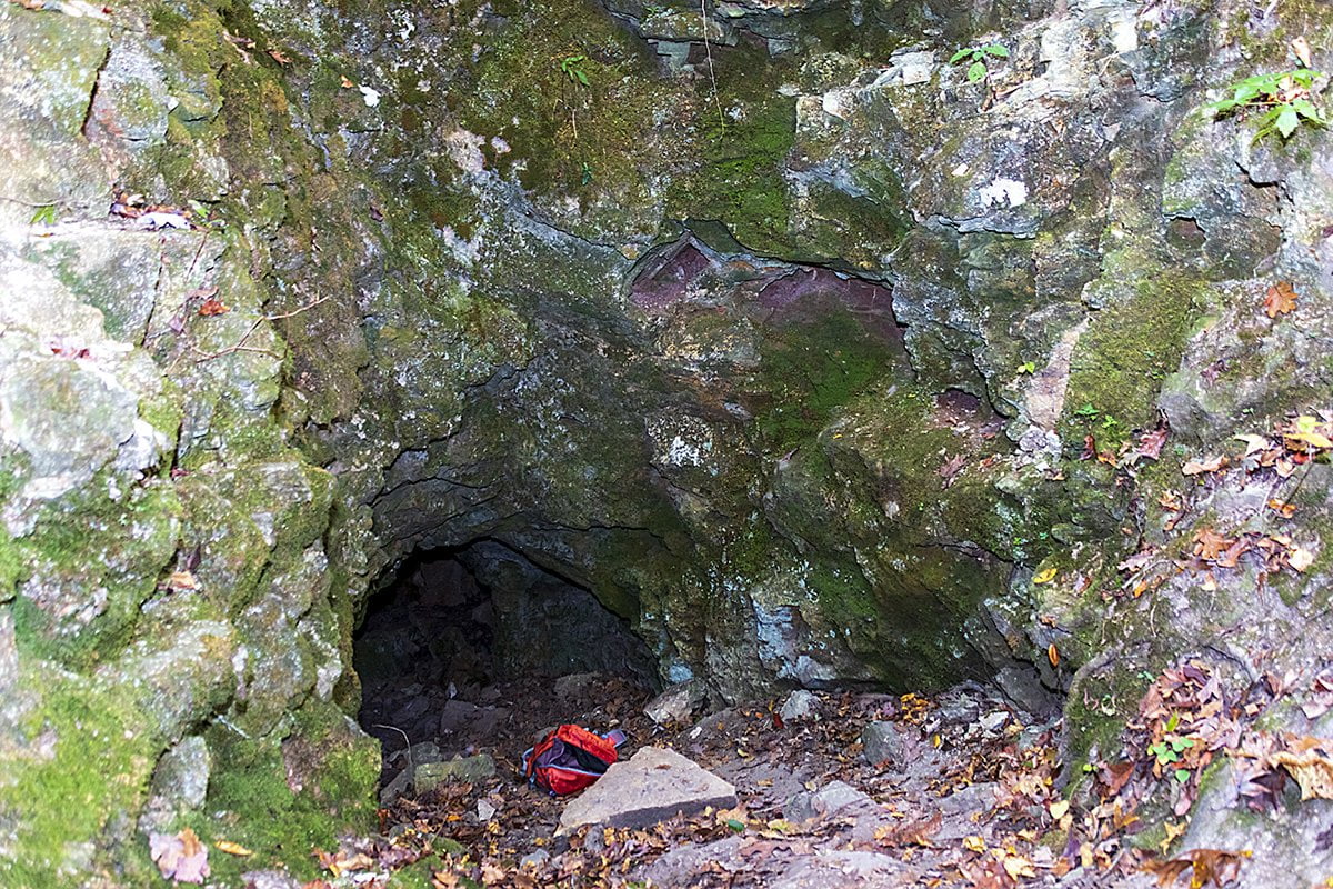
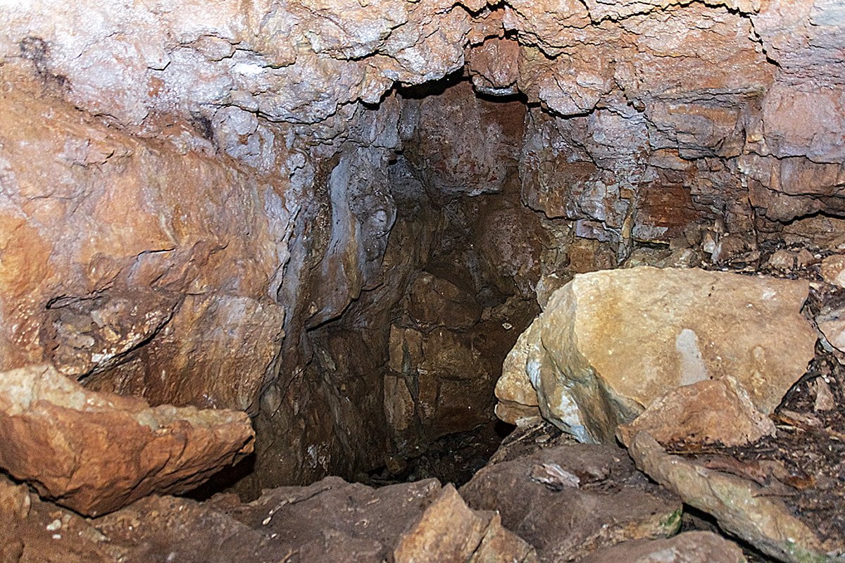
After you explore here for a while, you will continue to follow Panther Creek until it meets another stream. This is where you start the climb out. The first part is a little steep, but not bad. You will end up on a trail that follows a bluff line. On this short climb up is where you will encounter an old zinc mine. You can actually go inside and look around the entrance to the mine.
Once you explore the zinc mine, continue to walk along the bluff until you arrive at the bottom of a waterfall. The water was barely a trickle, but you can see how beautiful it would be after substantial rain. The trail continues under the waterfall, and then you will have a series of rock steps that take you to the top of the falls to continue your journey out. Below is a photo I shot from the top of the waterfall.

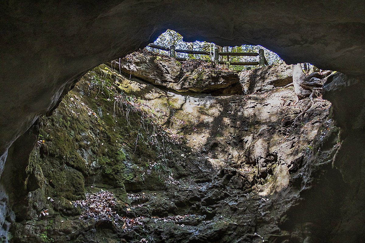
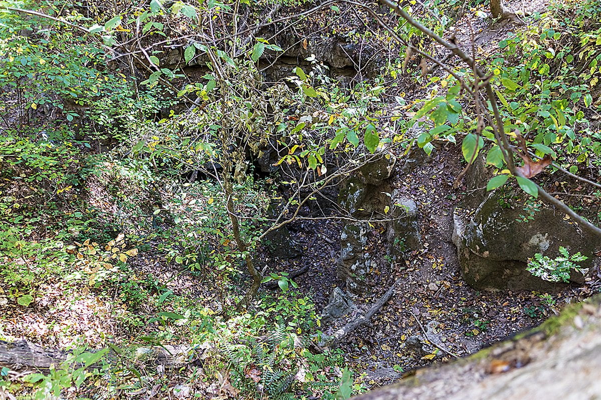
There is one more sight you will want to catch before you get back to the parking area. The Sinkhole Icehouse is a large sinkhole beside the trail. It is marked by a trail sign. When I was here last time, it was a cold day and there was vapor coming out of the hole at the bottom of the sinkhole where cool air from underground was escaping. I didn’t see any vapor on this trip.
Once you pass the sinkhole, the trail makes a gentle climb until you arrive back at the parking area. We had thought ahead and brought chairs, so we could sit and eat a leisurely lunch. There are also a couple of picnic tables in the parking area.
Let us know here or on our Facebook page that you hiked the Indian Rockhouse Trail and what your experience was. This is an easy-to-moderate trail that even the children will enjoy. Be sure to watch them around bluffs and other places where they might fall.
On the map above, click on “View Larger Map” to go to Google Maps. Then copy & paste the code below into Google Maps to view the location. Use the satellite view for the best overview.
Code
3CJJ+G6 Cozahome, Arkansas