Exploring the Buffalo River Trail: From Ozark to Erbie
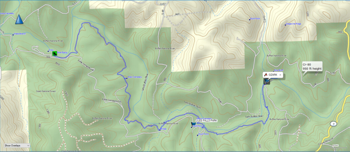
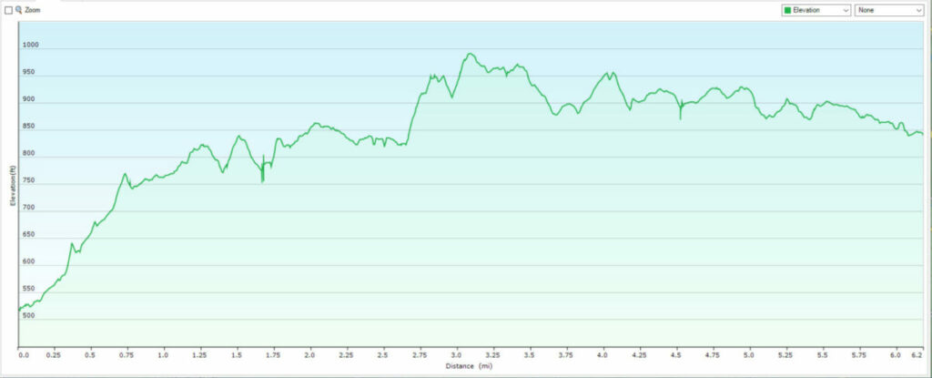
Nestled in the heart of the Arkansas Ozarks, the Buffalo River Trail offers some of the region’s most stunning and varied landscapes. The section of the trail between the Ozark Campground and the Erbie Campground is a 6.2-mile stretch of pure natural beauty. This is considered the easiest section along the 39-mile length of the Buffalo River Trail. With its limestone bluffs, lush hardwood forests, and serene river views, this hike is a journey through one of the most picturesque areas in the country’s first National River.
Starting at the Ozark Campground, the trail meanders through shaded paths, rising and falling along the contours of the Buffalo River. Hikers are treated to sweeping views from bluff tops, glimpses of wildlife, and the soothing sounds of flowing water. This section of the Buffalo River Trail blends rich history, geological wonder, and tranquil solitude, making it an unforgettable experience for outdoor enthusiasts.
Whether you’re seeking a day hike or a multi-day adventure, this trail segment is a gateway to the natural treasures of the Buffalo National River. So lace up your boots, pack your gear, and prepare to explore one of the most beloved hiking routes in the Ozarks.
Ozark Campground
We hiked the trail beginning at the Ozark Campground north of Jasper, AR. We dropped off a vehicle at the Erbie Campground and then backtracked along Highway 7 to the Ozark Campground to begin our hike. The trail begins at the Southwest end of the campground where you enter. There is a sign just behind the last tent camping site. The trail meanders along at river level for a while before the trail turns uphill and climbs above the river.
Overview of the Buffalo River Trail
The Buffalo River Trail is divided into multiple sections, each offering unique features and experiences. The trail generally follows the course of the Buffalo River, from the eastern boundary of the Lower Buffalo Wilderness Area near Boxley to Pruitt, with an additional section from Woolum to Highway 14. Here’s a breakdown of the major sections:
- Boxley to Ponca (11 miles)
- This section features stunning views of the Boxley Valley, historic homesteads, and frequent elk sightings. The terrain includes moderate elevation changes and scenic river crossings.
- Ponca to Kyles Landing (10 miles)
- Known for its dramatic bluff views, waterfalls, and lush forests, this stretch offers challenging climbs and rewards hikers with sweeping vistas, including the famous Big Bluff and Hemmed-in-Hollow Falls.
- Kyles Landing to Erbie (8 miles)
- This portion of the trail meanders through dense forest, past historic structures, and along beautiful river overlooks. The Erbie area is rich in history, featuring old cemeteries, homesteads, and barns.
- Erbie to Ozark Campground (7.5 miles)
- This section is known for its tranquil paths through hardwood forests, scenic river views, and towering limestone bluffs. It’s a quieter stretch that showcases the region’s natural beauty and solitude.
- Ozark Campground to Pruitt (3 miles)
- A shorter but no less beautiful segment, this part of the trail offers easy hiking with picturesque views of the river and surrounding bluffs. It’s perfect for a shorter day hike.
- Woolum to Highway 14 (14 miles)
- This newer section of the BRT takes hikers through remote wilderness, with rugged terrain, river crossings, and scenic vistas. It’s ideal for those seeking solitude and a more challenging experience.
What to Expect on the Trail
- Scenery: The BRT is renowned for its diverse scenery, including towering bluffs, clear streams, waterfalls, and dense forests.
- Wildlife: Hikers may encounter elk, deer, wild turkeys, and a variety of bird species. The Buffalo River is also home to fish, turtles, and occasional river otters.
- History: Along the trail, you’ll find remnants of 19th-century homesteads, barns, cemeteries, and old mining operations, providing a glimpse into the region’s past.
- Difficulty: The trail varies from easy to strenuous, with some steep climbs, river crossings, and uneven terrain. Proper footwear, maps, and preparation are essential.
Best Times to Hike
Winter: Cooler temperatures and bare trees provide clear views of the river and bluffs.
Spring: Wildflowers are in bloom, and waterfalls are at their peak.
Fall: The foliage transforms into a vibrant tapestry of reds, oranges, and yellows.
The Hike from Ozark to Erbie in Photos

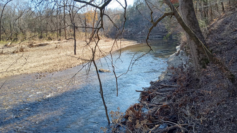
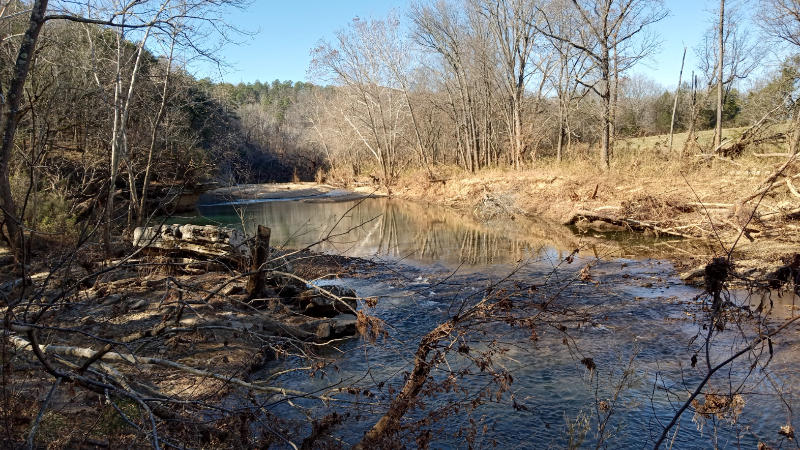
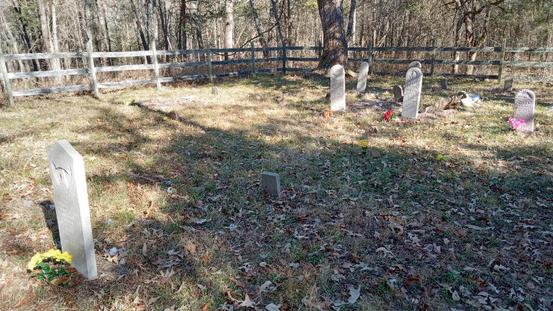
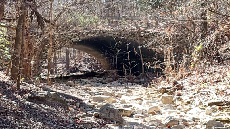
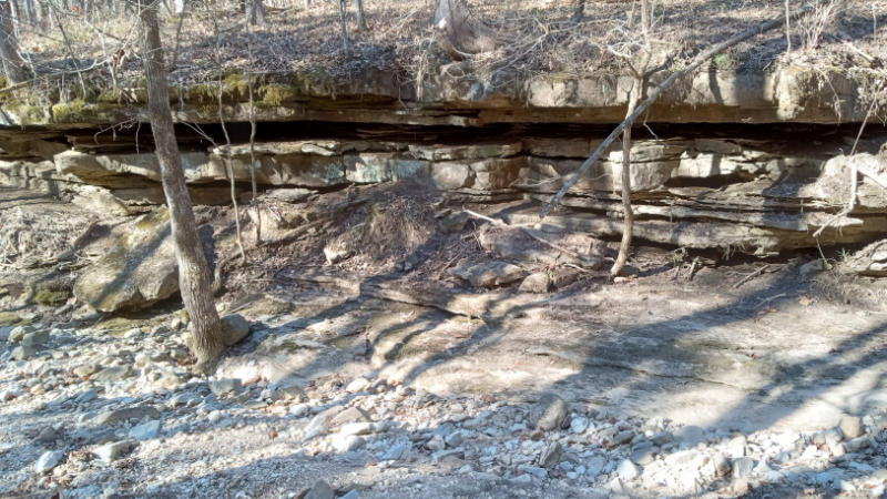
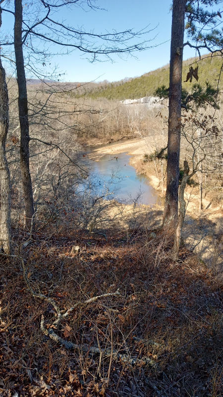
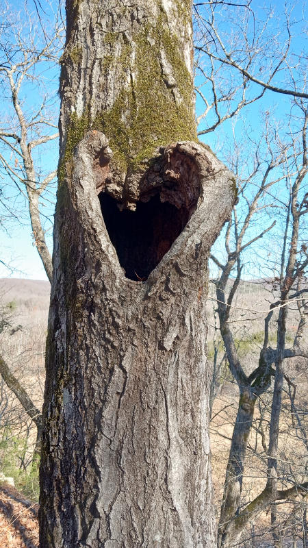
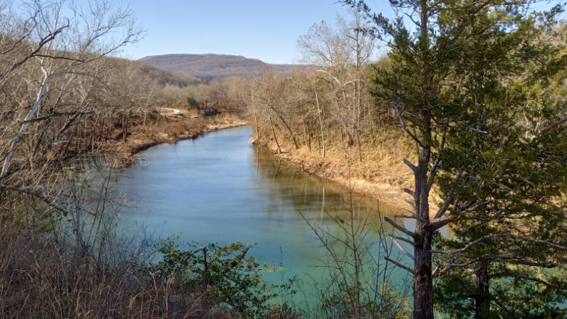
Embarking on the Buffalo River Trail from Ozark to Erbie offers hikers a unique opportunity to immerse themselves in the natural splendor and rich history of the Arkansas Ozarks. This 6.2-mile segment, noted as the easiest along the 39-mile trail, provides a diverse array of landscapes—from serene riverbanks to towering limestone bluffs—making it accessible and enjoyable for hikers of varying skill levels.
As you traverse this path, you’ll encounter the tranquil beauty of hardwood forests, the soothing sounds of the Buffalo River, and perhaps even glimpses of local wildlife. The trail’s gentle elevation changes and well-maintained pathways ensure a pleasant hiking experience, allowing you to fully appreciate the surrounding scenery without undue strain.
Whether you’re seeking a peaceful day hike or a segment to incorporate into a longer backpacking adventure, the Ozark to Erbie section of the Buffalo River Trail stands out as a must-experience journey. Its combination of natural beauty, ease of access, and historical significance encapsulates the very essence of what makes the Buffalo National River area a cherished destination for outdoor enthusiasts.
So, lace up your hiking boots, pack your essentials, and set forth on this picturesque trail—you’ll find that the Ozark to Erbie hike offers not just a walk through the woods, but a memorable adventure into the heart of the Ozarks.
