The Ozark Highlands Trail (OHT) is one of northern Arkansas’s most scenic wilderness routes — traversing ridge lines, creek valleys, bluff lines, and remote forest landscapes as it winds through the Ozark Mountains. One of the most enjoyable and accessible portions for day hikers and backpackers alike is the section from Brush Creek to Twin Creek within the Sylamore Ranger District of the trail.
📍 Trail Overview
- Trail Name: Ozark Highlands Trail – Brush Creek to Twin Creek Segment
- Location: Near Fifty–Six, Arkansas in the Sylamore Section
- Distance: Approximately 5 miles one-way on singletrack trail
- Difficulty: Moderate — rolling terrain with creek crossings and wooded stretches
- Best Use: Day hike, short backpacking trip, nature walk
- Trail Type: Point-to-point on the Ozark Highlands Trail corridor
This short but scenic segment lies within the larger Sylamore portion of the OHT. Hikers will find varying terrain: shaded forest stretches, small rises, and a handful of water features that make this section especially pleasant during spring through fall seasons.
🥾 What to Expect on the Trail
Trail Conditions:
The path from Brush Creek to Twin Creek follows the marked OHT corridor with typical Ozark terrain — roots, rocky ground, and moderate elevation changes. Most hikers describe the difficulty as moderate due to these natural ups and downs.
Creek Crossings & Water:
Expect a handful of small creeks and drainage crossings. These provide refreshing views and cool resting spots, but water availability can vary with rainfall and season. Always treat or filter creek water before drinking. During our hike, the creeks were dry in late November due to an extended dry spell.
Scenic Highlights:
This section doesn’t feature towering vistas like the Boston Mountains segment, but its intimate forest experience — cool shade, understory plant life, and peaceful creekside breaks — is exactly what many trail lovers yearn for when exploring the Ozarks. Winter is an especially scenic time because the leaves are off the trees, opening up views you could never see during the summer months.
Wildlife & Nature:
Keep your eyes and ears open for songbirds, squirrels, deer, and — with luck — glimpses of foxes or other forest dwellers. The varied hardwood forest hosts an array of plant and animal life typical of the Ozark highland ecosystem.
🗺️ Trail Logistics
Trailheads:
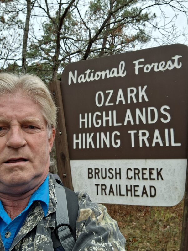
- Brush Creek Trailhead: The western start point of this segment is near Fifty-Six. AR.
Coordinates 36.100606, -92.326882 - Twin Creek Trailhead: The eastern endpoint where hikers can exit or return to a vehicle.
Parking Coordinates 36.141979, -92.336207
Because this is a point-to-point hike, plan your transportation accordingly — whether that’s a car shuttle, ride-share drop, or arranging with a hiking partner. We arranged to take a second vehicle and park it at Twin Creek to shuttle back to Brush Creek.
Parking & Access:
Trailheads usually have space for a few vehicles. Be mindful of other users, and use only designated parking areas to minimize impact on undeveloped road shoulders.
🧗♂️ Tips for Your Hike
✅ Start early — especially in warmer months to enjoy cool morning air.
✅ Bring plenty of water — sources may be intermittent depending on recent rain.
✅ Trail shoes or boots with good tread help on rocky and root-filled terrain.
✅ Leave no trace: pack out all trash and minimize impact on this natural landscape.
📸 Capture the Experience
This section of the Ozark Highlands Trail is featured in our video of the trail — a great way to preview the hike before you go! Just head back to the top of the page and hit play!
Whether you’re planning a solo adventure or a nature walk with friends, the Brush Creek to Twin Creek OHT segment offers a manageable yet rewarding glimpse into the wild heart of Arkansas’s Ozarks.